Fujin night lights from space
Night Light of Fujin (Heilongjiang) from space (China) Src. Average luminocity for 10x10km area is 22.5446% and for 50x50km: 1.1299%.
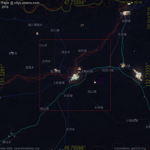
Analysis of Fujin night lights 2016
Square area 10x10 km:
 4.46%
4.46%90-99
3.42%80-89
2.38%70-79
1.93%60-69
3.13%50-59
4.17%40-49
1.64%30-39
1.19%20-29
1.93%10-19
23.36%0-9
52.38%Square area 50x50 km:
0.19%90-99
0.15%80-89
0.11%70-79
0.09%60-69
0.16%50-59
0.18%40-49
0.11%30-39
0.13%20-29
0.12%10-19
0.96%0-9
97.79%Clear (daylight) street map image can be seen on geolist.org.
Map coordinates:
47° 44' 6.1" North, 131° 19' 44.8" East
47° 15' 36" North, 132° 1' 56" East
46° 46' 50.4" North, 132° 44' 7.3" East
Some cities around Fujin sort by population:
• Shuangyashan
96.2 km =59.8 mi,  223°
223°
• Baoshan
90.6 km =56.3 mi,  210°
210°
• Lingdong
102.4 km =63.6 mi, 221°
• Baoqing
104.1 km =64.7 mi,  172°
172°
• Fuli
90.4 km =56.2 mi,  228°
228°
• Fengxiang
97.5 km =60.6 mi,  291°
291°
• Leninskoye, RU
87 km =54.1 mi,  30°
30°
• Amurzet, RU
85.5 km =53.1 mi,  304°
304°
2037375 (p: 89,442)
Sources (retrieved 2019-11-25):
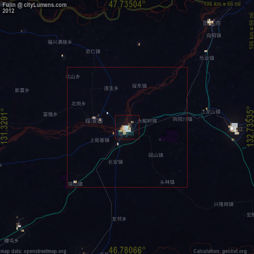
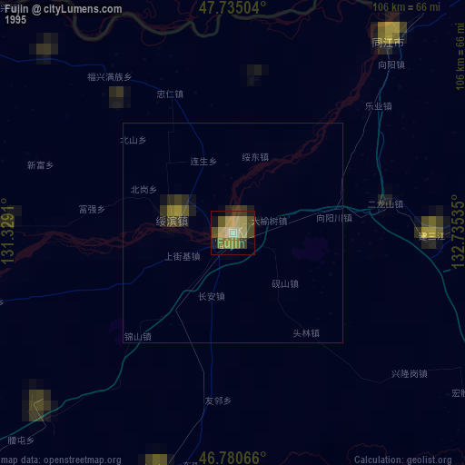
» NASA, Earths city lights 1995
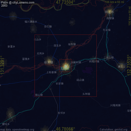
» NASA city lights 2003
» Earth at Night: Flat Maps 2012, 2016