Khor night lights from space
Night Light of Khor (Khabarovsk) from space (Russia) Src. Average luminocity for 10x10km area is 0.9943% and for 50x50km: 0.1249%.
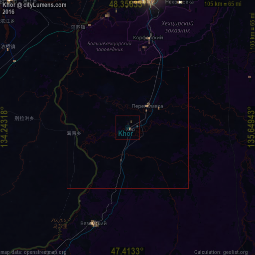
Analysis of Khor night lights 2016
Square area 10x10 km:
 0%
0%90-99
0%80-89
0%70-79
0%60-69
0.57%50-59
0%40-49
0.28%30-39
0.71%20-29
0.14%10-19
0.99%0-9
97.3%Square area 50x50 km:
0%90-99
0%80-89
0%70-79
0%60-69
0.05%50-59
0.05%40-49
0.06%30-39
0.05%20-29
0.03%10-19
0.06%0-9
99.71%Clear (daylight) street map image can be seen on geolist.org.
Map coordinates:
48° 21' 22.8" North, 134° 14' 35.4" East
47° 53' 13.1" North, 134° 56' 46.7" East
47° 24' 47.9" North, 135° 38' 57.9" East
Some cities around Khor sort by population:
• Khabarovsk
67 km =41.6 mi,  8°
8°
• Khabarovsk Vtoroy
62.8 km =39 mi, 12°
• Fuyuan, CN
72 km =44.7 mi,  317°
317°
• Vyazemskiy
41.4 km =25.7 mi,  200°
200°
• Nekrasovka
55.9 km =34.7 mi,  22°
22°
• Knyaze-Volkonskoye
74.6 km =46.4 mi,  30°
30°
• Smidovich
115.4 km =71.7 mi,  313°
313°
• Korfovskiy
38.3 km =23.8 mi, 12°
2022317 (p: 11,503)
Sources (retrieved 2019-11-25):
» Earth at Night: Flat Maps 2012, 2016