Kapustin Yar night lights from space
Night Light of Kapustin Yar (Astrakhan) from space (Russia) Src. Average luminocity for 10x10km area is 5.6354% and for 50x50km: 0.2452%.
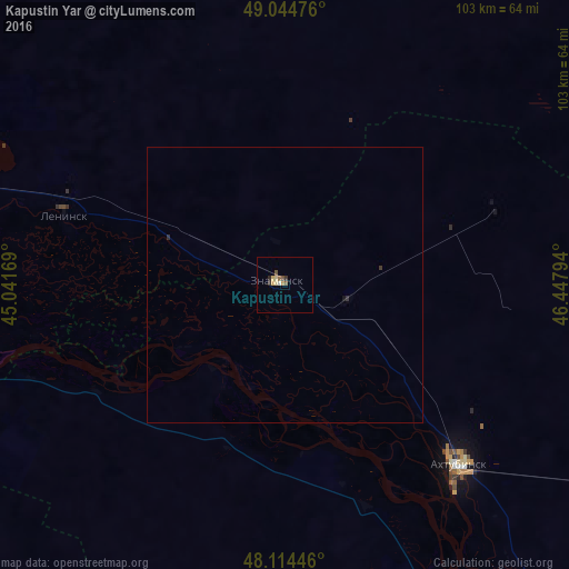
Analysis of Kapustin Yar night lights 2016
Square area 10x10 km:
 0%
0%90-99
0.6%80-89
1.79%70-79
0.74%60-69
0.74%50-59
1.34%40-49
0.74%30-39
0.89%20-29
0.89%10-19
0%0-9
92.26%Square area 50x50 km:
0%90-99
0.02%80-89
0.07%70-79
0.03%60-69
0.03%50-59
0.05%40-49
0.03%30-39
0.06%20-29
0.08%10-19
0.02%0-9
99.61%Clear (daylight) street map image can be seen on geolist.org.
Map coordinates:
49° 2' 41.1" North, 45° 2' 30.1" East
48° 34' 54.3" North, 45° 44' 41.3" East
48° 6' 52.1" North, 46° 26' 52.6" East
Some cities around Kapustin Yar sort by population:
• Volzhskiy
74.4 km =46.2 mi,  287°
287°
• Akhtubinsk
46.1 km =28.6 mi,  136°
136°
• Znamensk
0.9 km =0.6 mi, 288°
• Leninsk
42.4 km =26.3 mi, 288°
• Srednyaya Akhtuba
66 km =41 mi,  282°
282°
• Svetlyy Yar
72 km =44.7 mi,  260°
260°
• Verkhniy Baskunchak
82.3 km =51.1 mi,  118°
118°
• Chyorny Yar
63.7 km =39.6 mi,  154°
154°
552999 (p: 6,476)
Sources (retrieved 2019-11-25):
» Earth at Night: Flat Maps 2012, 2016