Krasnyy Yar night lights from space
Night Light of Krasnyy Yar (Volgograd Oblast) from space (Russia) Src. Average luminocity for 10x10km area is 0.2072% and for 50x50km: 0.1547%.
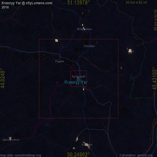
Analysis of Krasnyy Yar night lights 2016
Square area 10x10 km:
 0%
0%90-99
0%80-89
0%70-79
0%60-69
0%50-59
0%40-49
0%30-39
0.53%20-29
0%10-19
0%0-9
99.47%Square area 50x50 km:
0.02%90-99
0.07%80-89
0.02%70-79
0%60-69
0.01%50-59
0.02%40-49
0.02%30-39
0.02%20-29
0.02%10-19
0.03%0-9
99.78%Clear (daylight) street map image can be seen on geolist.org.
Map coordinates:
51° 8' 23.2" North, 44° 1' 29.3" East
50° 41' 47.5" North, 44° 43' 40.5" East
50° 14' 56.5" North, 45° 25' 51.8" East
Some cities around Krasnyy Yar sort by population:
• Kamyshin
82.5 km =51.3 mi,  143°
143°
• Kotovo
42.1 km =26.2 mi,  172°
172°
• Zhirnovsk
32.2 km =20 mi,  5°
5°
• Yelan’
75 km =46.6 mi,  291°
291°
• Petrov Val
70.3 km =43.7 mi,  150°
150°
• Samoylovka
89.7 km =55.7 mi,  307°
307°
• Rudnya
16.5 km =10.3 mi, 313°
• Danilovka
57.5 km =35.7 mi,  228°
228°
541344 (p: 7,727)
Sources (retrieved 2019-11-25):
» Earth at Night: Flat Maps 2012, 2016