Yelan’ night lights from space
Night Light of Yelan’ (Volgograd Oblast) from space (Russia) Src. Average luminocity for 10x10km area is 0.4566% and for 50x50km: 0.0174%.
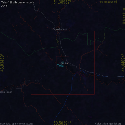
Analysis of Yelan’ night lights 2016
Square area 10x10 km:
 0%
0%90-99
0%80-89
0%70-79
0%60-69
0%50-59
0%40-49
0.42%30-39
0.7%20-29
0%10-19
0%0-9
98.88%Square area 50x50 km:
0%90-99
0%80-89
0%70-79
0%60-69
0%50-59
0%40-49
0.02%30-39
0.03%20-29
0%10-19
0%0-9
99.96%Clear (daylight) street map image can be seen on geolist.org.
Map coordinates:
51° 23' 23.5" North, 43° 2' 4.9" East
50° 56' 56.4" North, 43° 44' 16.1" East
50° 30' 14.1" North, 44° 26' 27.4" East
Some cities around Yelan’ sort by population:
• Balashov
77.8 km =48.3 mi,  329°
329°
• Zhirnovsk
72.6 km =45.1 mi,  86°
86°
• Kamenka
79.4 km =49.3 mi,  301°
301°
• Samoylovka
26.2 km =16.3 mi,  355°
355°
• Rudnya
60 km =37.3 mi,  106°
106°
• Krasnyy Yar
75 km =46.6 mi, 111°
• Danilovka
71.2 km =44.2 mi,  157°
157°
• Kikvidze
53.4 km =33.2 mi,  244°
244°
468063 (p: 15,181)
Sources (retrieved 2019-11-25):
» Earth at Night: Flat Maps 2012, 2016