Danilovka night lights from space
Night Light of Danilovka (Volgograd Oblast) from space (Russia) Src. Average luminocity for 10x10km area is 1.1653% and for 50x50km: 0.0574%.
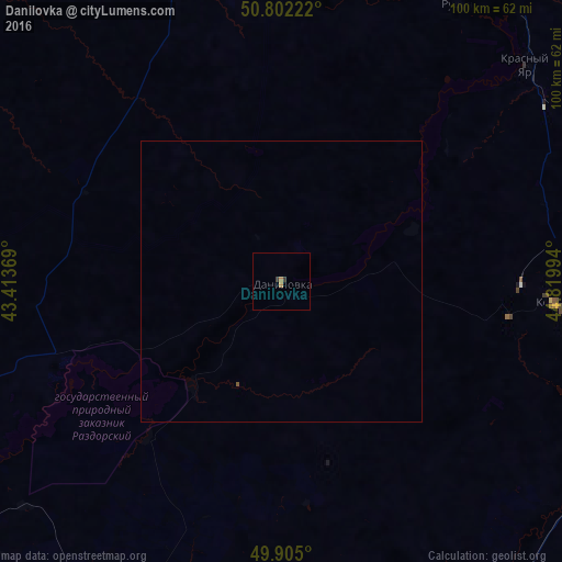
Analysis of Danilovka night lights 2016
Square area 10x10 km:
 0%
0%90-99
0%80-89
0%70-79
0%60-69
1.12%50-59
0%40-49
0%30-39
1.12%20-29
0%10-19
0%0-9
97.76%Square area 50x50 km:
0%90-99
0%80-89
0%70-79
0%60-69
0.04%50-59
0.02%40-49
0%30-39
0.04%20-29
0%10-19
0%0-9
99.89%Clear (daylight) street map image can be seen on geolist.org.
Map coordinates:
50° 48' 8" North, 43° 24' 49.3" East
50° 21' 20.6" North, 44° 7' 0.5" East
49° 54' 18" North, 44° 49' 11.8" East
Some cities around Danilovka sort by population:
• Mikhaylovka
70.7 km =43.9 mi,  242°
242°
• Frolovo
72.6 km =45.1 mi,  206°
206°
• Kotovo
48.7 km =30.3 mi,  94°
94°
• Zhirnovsk
83.8 km =52.1 mi,  33°
33°
• Yelan’
71.2 km =44.2 mi,  337°
337°
• Petrov Val
81.2 km =50.5 mi,  106°
106°
• Rudnya
58.3 km =36.2 mi, 32°
• Krasnyy Yar
57.5 km =35.7 mi,  48°
48°
567177 (p: 5,956)
Sources (retrieved 2019-11-25):
» Earth at Night: Flat Maps 2012, 2016