Kotovo night lights from space
Night Light of Kotovo (Volgograd Oblast) from space (Russia) Src. Average luminocity for 10x10km area is 3.895% and for 50x50km: 0.2335%.
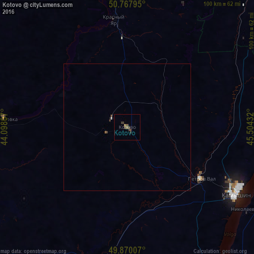
Analysis of Kotovo night lights 2016
Square area 10x10 km:
 0%
0%90-99
0%80-89
0.56%70-79
0%60-69
1.12%50-59
1.12%40-49
2.24%30-39
1.68%20-29
0%10-19
0%0-9
93.28%Square area 50x50 km:
0.01%90-99
0.01%80-89
0.02%70-79
0%60-69
0.07%50-59
0.07%40-49
0.13%30-39
0.07%20-29
0%10-19
0.04%0-9
99.58%Clear (daylight) street map image can be seen on geolist.org.
Map coordinates:
50° 46' 4.6" North, 44° 5' 53.1" East
50° 19' 16.1" North, 44° 48' 4.3" East
49° 52' 12.3" North, 45° 30' 15.6" East
Some cities around Kotovo sort by population:
• Kamyshin
50.3 km =31.3 mi,  119°
119°
• Zhirnovsk
73.8 km =45.9 mi,  358°
358°
• Nikolayevsk
57.1 km =35.5 mi, 124°
• Petrov Val
35.1 km =21.8 mi, 124°
• Bykovo
74.6 km =46.4 mi,  145°
145°
• Rudnya
55.8 km =34.7 mi,  342°
342°
• Krasnyy Yar
42.1 km =26.2 mi,  352°
352°
• Danilovka
48.7 km =30.3 mi,  274°
274°
543633 (p: 26,981)
Sources (retrieved 2019-11-25):
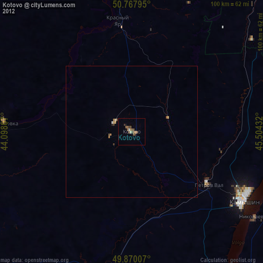
» Earth at Night: Flat Maps 2012, 2016