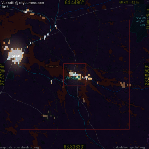
Vuokatti night lights from space
Night Light of Vuokatti (Kainuu) from space (Finland) Src. Average luminocity for 10x10km area is 14.5495% and for 50x50km: 1.6643%.
Analysis of Vuokatti night lights 2016
Square area 10x10 km:
 1.81%
1.81%90-99
3.9%80-89
2%70-79
1.33%60-69
1.52%50-59
0.48%40-49
0.48%30-39
0.29%20-29
0.76%10-19
9.62%0-9
77.81%Square area 50x50 km:
0.26%90-99
0.34%80-89
0.17%70-79
0.18%60-69
0.11%50-59
0.05%40-49
0.23%30-39
0.21%20-29
0.24%10-19
1.04%0-9
97.15%Clear (daylight) street map image can be seen on geolist.org.
Map coordinates:
64° 26' 58.6" North, 27° 34' 43.8" East
64° 8' 40.8" North, 28° 16' 55.1" East
63° 50' 10.8" North, 28° 59' 6.3" East
Some cities around Vuokatti sort by population:
• Kajaani
28.3 km =17.6 mi,  288°
288°
• Iisalmi
84.2 km =52.3 mi,  219°
219°
• Sotkamo
6.7 km =4.2 mi,  100°
100°
• Kuhmo
59.9 km =37.2 mi,  91°
91°
• Suomussalmi
87.8 km =54.6 mi,  19°
19°
• Kiuruvesi
98.3 km =61.1 mi,  235°
235°
• Nurmes
79.1 km =49.2 mi,  147°
147°
• Lapinlahti
96.8 km =60.1 mi,  206°
206°
631204 (p: 6,183)
Sources (retrieved 2019-11-25):
» Earth at Night: Flat Maps 2012, 2016