Lieksa night lights from space
Night Light of Lieksa (North Karelia) from space (Finland) Src. Average luminocity for 10x10km area is 19.1581% and for 50x50km: 0.9153%.
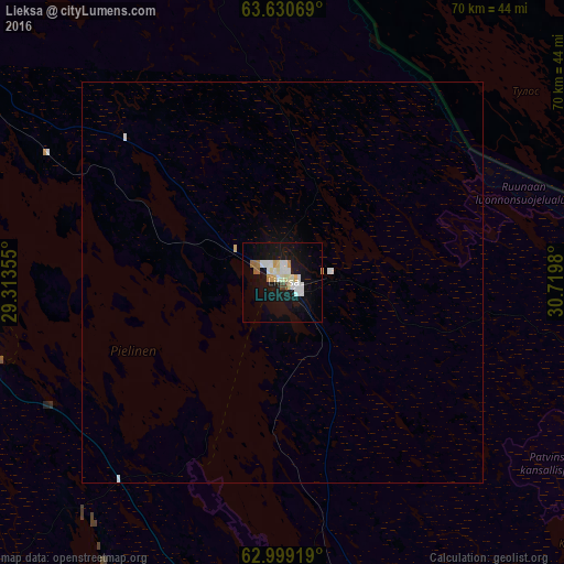
Analysis of Lieksa night lights 2016
Square area 10x10 km:
 3.5%
3.5%90-99
5.49%80-89
2.46%70-79
1.42%60-69
1.61%50-59
0.47%40-49
0.76%30-39
0%20-29
0%10-19
25.38%0-9
58.9%Square area 50x50 km:
0.17%90-99
0.25%80-89
0.12%70-79
0.07%60-69
0.07%50-59
0.02%40-49
0.03%30-39
0%20-29
0%10-19
1.06%0-9
98.21%Clear (daylight) street map image can be seen on geolist.org.
Map coordinates:
63° 37' 50.5" North, 29° 18' 48.8" East
63° 19' 0" North, 30° 1' 0" East
62° 59' 57.1" North, 30° 43' 11.3" East
Some cities around Lieksa sort by population:
• Joensuu
80.6 km =50.1 mi,  189°
189°
• Kontiolahti
62.5 km =38.8 mi, 187°
• Nurmes
50.3 km =31.3 mi,  299°
299°
• Outokumpu
82.8 km =51.4 mi,  217°
217°
• Eno
57.3 km =35.6 mi,  173°
173°
• Ilomantsi
85.3 km =53 mi,  147°
147°
• Juuka
39.4 km =24.5 mi,  256°
256°
• Juankoski
88.1 km =54.7 mi,  251°
251°
648090 (p: 13,703)
Sources (retrieved 2019-11-25):
» Earth at Night: Flat Maps 2012, 2016