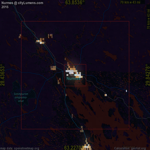
Nurmes night lights from space
Night Light of Nurmes (North Karelia) from space (Finland) Src. Average luminocity for 10x10km area is 23.8068% and for 50x50km: 1.4818%.
Analysis of Nurmes night lights 2016
Square area 10x10 km:
 5.68%
5.68%90-99
5.3%80-89
2.94%70-79
2.08%60-69
2.08%50-59
0.95%40-49
0.66%30-39
0%20-29
0.76%10-19
31.53%0-9
48.01%Square area 50x50 km:
0.26%90-99
0.26%80-89
0.12%70-79
0.11%60-69
0.18%50-59
0.11%40-49
0.31%30-39
0.14%20-29
0.05%10-19
1.38%0-9
97.08%Clear (daylight) street map image can be seen on geolist.org.
Map coordinates:
63° 51' 13" North, 28° 26' 11.5" East
63° 32' 31.4" North, 29° 8' 22.7" East
63° 13' 37.4" North, 29° 50' 34" East
Some cities around Nurmes sort by population:
• Lieksa
50.3 km =31.3 mi,  119°
119°
• Sotkamo
74.7 km =46.4 mi,  331°
331°
• Kuhmo
68.3 km =42.4 mi,  15°
15°
• Lapinlahti
88.6 km =55.1 mi,  257°
257°
• Nilsiä
64.5 km =40.1 mi,  234°
234°
• Vuokatti
79.1 km =49.2 mi, 327°
• Juuka
34.8 km =21.6 mi,  170°
170°
• Juankoski
66 km =41 mi,  216°
216°
644187 (p: 8,804)
Sources (retrieved 2019-11-25):
» Earth at Night: Flat Maps 2012, 2016