Korolev night lights from space
Night Light of Korolev (Moscow Oblast) from space (Russia) Src. Average luminocity for 10x10km area is 77.1579% and for 50x50km: 57.8541%.
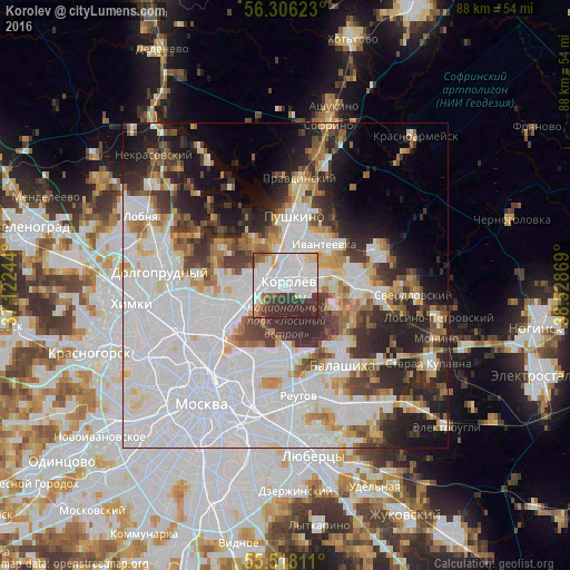
Analysis of Korolev night lights 2016
Square area 10x10 km:
 44.74%
90-99
12.91%80-89
5.39%70-79
2.76%60-69
3.38%50-59
2.38%40-49
5.26%30-39
17.29%20-29
5.89%10-19
0%0-9
0%Square area 50x50 km:
27.6%90-99
11.2%80-89
4.19%70-79
4.09%60-69
4.22%50-59
4.16%40-49
4.09%30-39
6.34%20-29
8.92%10-19
8.69%0-9
16.5%Clear (daylight) street map image can be seen on geolist.org.
Map coordinates:
56° 18' 22.4" North, 37° 7' 20.8" East
55° 54' 51" North, 37° 49' 32" East
55° 31' 5.2" North, 38° 31' 43.3" East
Some cities around Korolev sort by population:
• Mytishchi
5.9 km =3.7 mi,  267°
267°
• Yaroslavskiy
7.6 km =4.7 mi,  243°
243°
• Babushkin
7.8 km =4.8 mi,  230°
230°
• Ivanteyevka
8.7 km =5.4 mi,  43°
43°
• Yubileyny
2.2 km =1.4 mi,  12°
12°
• Bolshevo
2.3 km =1.4 mi, 6°
• Mamontovka
7.4 km =4.6 mi,  357°
357°
• Zagoryanskiy
8.5 km =5.3 mi,  76°
76°
554233 (p: 139,798)
Sources (retrieved 2019-11-25):
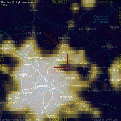
» NASA, Earths city lights 1995
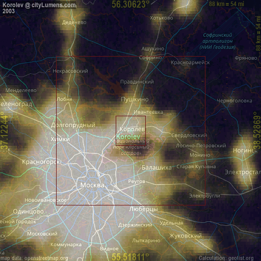
» NASA city lights 2003
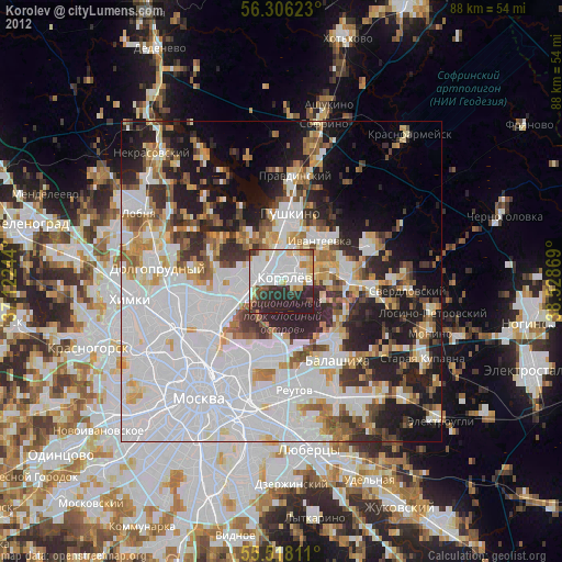
» Earth at Night: Flat Maps 2012, 2016