Khorol’ night lights from space
Night Light of Khorol’ (Primorskiy (Maritime) Kray) from space (Russia) Src. Average luminocity for 10x10km area is 0.3349% and for 50x50km: 0.0273%.
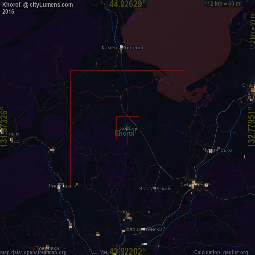
Analysis of Khorol’ night lights 2016
Square area 10x10 km:
 0%
0%90-99
0%80-89
0%70-79
0%60-69
0%50-59
0%40-49
0%30-39
0.63%20-29
0.32%10-19
0.32%0-9
98.73%Square area 50x50 km:
0%90-99
0%80-89
0%70-79
0%60-69
0%50-59
0.01%40-49
0%30-39
0.02%20-29
0.03%10-19
0.02%0-9
99.91%Clear (daylight) street map image can be seen on geolist.org.
Map coordinates:
44° 55' 34.6" North, 131° 22' 23.7" East
44° 25' 34.7" North, 132° 4' 35" East
43° 55' 19.3" North, 132° 46' 46.2" East
Some cities around Khorol’ sort by population:
• Chernigovka
40.3 km =25 mi,  103°
103°
• Pogranichnyy
55.5 km =34.5 mi,  268°
268°
• Kamen’-Rybolov
35.5 km =22.1 mi,  356°
356°
• Yaroslavskiy
29.4 km =18.3 mi,  155°
155°
• Mikhaylovka
55.1 km =34.2 mi,  185°
185°
• Novoshakhtinskiy
45.1 km =28 mi,  170°
170°
• Vozdvizhenka
60.1 km =37.3 mi, 189°
• Lipovtsy
37.7 km =23.4 mi,  228°
228°
2022289 (p: 11,245)
Sources (retrieved 2019-11-25):
» Earth at Night: Flat Maps 2012, 2016