Chernigovka night lights from space
Night Light of Chernigovka (Primorskiy (Maritime) Kray) from space (Russia) Src. Average luminocity for 10x10km area is 2.3302% and for 50x50km: 0.5603%.
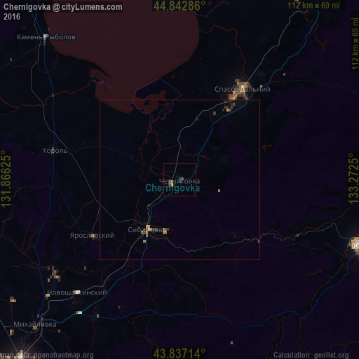
Analysis of Chernigovka night lights 2016
Square area 10x10 km:
 0%
0%90-99
0%80-89
0.16%70-79
0.48%60-69
0%50-59
0%40-49
1.9%30-39
0.63%20-29
1.75%10-19
0.16%0-9
94.92%Square area 50x50 km:
0%90-99
0%80-89
0.03%70-79
0.09%60-69
0.14%50-59
0.09%40-49
0.16%30-39
0.21%20-29
0.25%10-19
0.09%0-9
98.96%Clear (daylight) street map image can be seen on geolist.org.
Map coordinates:
44° 50' 34.3" North, 131° 51' 58.5" East
44° 20' 31.8" North, 132° 34' 9.7" East
43° 50' 13.7" North, 133° 16' 21" East
Some cities around Chernigovka sort by population:
• Arsen’yev
60.2 km =37.4 mi,  110°
110°
• Spassk-Dal’niy
35.1 km =21.8 mi,  35°
35°
• Kamen’-Rybolov
61 km =37.9 mi,  317°
317°
• Khorol’
40.3 km =25 mi,  283°
283°
• Yaroslavskiy
32.2 km =20 mi,  237°
237°
• Mikhaylovka
63.8 km =39.6 mi,  224°
224°
• Novoshakhtinskiy
47.7 km =29.6 mi, 222°
• Spasskoye
35.2 km =21.9 mi,  31°
31°
2025489 (p: 13,969)
Sources (retrieved 2019-11-25):
» Earth at Night: Flat Maps 2012, 2016