Mikhaylovka night lights from space
Night Light of Mikhaylovka (Primorskiy (Maritime) Kray) from space (Russia) Src. Average luminocity for 10x10km area is 1.746% and for 50x50km: 3.9943%.
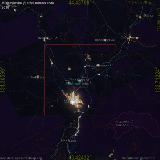
Analysis of Mikhaylovka night lights 2016
Square area 10x10 km:
 0%
0%90-99
0%80-89
0%70-79
0%60-69
0%50-59
0.16%40-49
1.11%30-39
0%20-29
1.9%10-19
1.27%0-9
95.56%Square area 50x50 km:
0.37%90-99
0.7%80-89
0.39%70-79
0.4%60-69
0.68%50-59
0.7%40-49
0.61%30-39
0.55%20-29
1.25%10-19
2.85%0-9
91.51%Clear (daylight) street map image can be seen on geolist.org.
Map coordinates:
44° 26' 13.3" North, 131° 18' 21.6" East
43° 55' 58.2" North, 132° 0' 32.8" East
43° 25' 27.6" North, 132° 42' 44.1" East
Some cities around Mikhaylovka sort by population:
• Ussuriysk
15.3 km =9.5 mi,  199°
199°
• Khorol’
55.1 km =34.2 mi,  5°
5°
• Pokrovka
30.1 km =18.7 mi,  274°
274°
• Yaroslavskiy
33.1 km =20.6 mi,  31°
31°
• Novoshakhtinskiy
16.2 km =10.1 mi,  50°
50°
• Razdol’noye
44.7 km =27.8 mi,  191°
191°
• Vozdvizhenka
6.6 km =4.1 mi,  229°
229°
• Lipovtsy
37.5 km =23.3 mi,  322°
322°
2020013 (p: 9,300)
Sources (retrieved 2019-11-25):
» Earth at Night: Flat Maps 2012, 2016