Kamen’-Rybolov night lights from space
Night Light of Kamen’-Rybolov (Primorskiy (Maritime) Kray) from space (Russia) Src. Average luminocity for 10x10km area is 1.5318% and for 50x50km: 0.074%.
Analysis of Kamen’-Rybolov night lights 2016
Square area 10x10 km:
 0.3%
0.3%90-99
0.3%80-89
0%70-79
0%60-69
0%50-59
0%40-49
1.21%30-39
0%20-29
0.61%10-19
1.21%0-9
96.36%Square area 50x50 km:
0.01%90-99
0.01%80-89
0%70-79
0%60-69
0%50-59
0%40-49
0.05%30-39
0%20-29
0.07%10-19
0.05%0-9
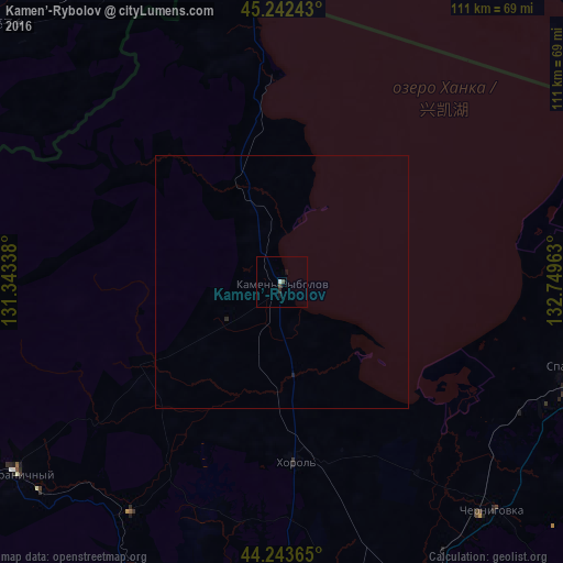
99.81%Clear (daylight) street map image can be seen on geolist.org.
Map coordinates:
45° 14' 32.7" North, 131° 20' 36.2" East
44° 44' 42.7" North, 132° 2' 47.4" East
44° 14' 37.1" North, 132° 44' 58.7" East
Some cities around Kamen’-Rybolov sort by population:
• Spassk-Dal’niy
63.7 km =39.6 mi,  104°
104°
• Chernigovka
61 km =37.9 mi,  137°
137°
• Pogranichnyy
64.8 km =40.3 mi,  234°
234°
• Khorol’
35.5 km =22.1 mi,  176°
176°
• Yaroslavskiy
63.9 km =39.7 mi,  166°
166°
• Novoshakhtinskiy
80.6 km =50.1 mi, 173°
• Lipovtsy
65.8 km =40.9 mi,  202°
202°
• Spasskoye
61.4 km =38.2 mi, 103°
2023226 (p: 11,489)
Sources (retrieved 2019-11-25):
» Earth at Night: Flat Maps 2012, 2016