Khabary night lights from space
Night Light of Khabary (Altai Krai) from space (Russia) Src. Average luminocity for 10x10km area is 0% and for 50x50km: 0%.
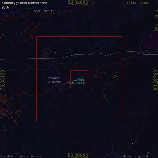
Analysis of Khabary night lights 2016
Square area 10x10 km:
 0%
0%90-99
0%80-89
0%70-79
0%60-69
0%50-59
0%40-49
0%30-39
0%20-29
0%10-19
0%0-9
100%Square area 50x50 km:
0%90-99
0%80-89
0%70-79
0%60-69
0%50-59
0%40-49
0%30-39
0%20-29
0%10-19
0%0-9
100%Clear (daylight) street map image can be seen on geolist.org.
Map coordinates:
54° 2' 27" North, 78° 49' 53" East
53° 37' 33.2" North, 79° 32' 4.2" East
53° 12' 24.6" North, 80° 14' 15.5" East
Some cities around Khabary sort by population:
• Kamen’-na-Obi
120.3 km =74.8 mi,  81°
81°
• Slavgorod
91.5 km =56.9 mi,  220°
220°
• Karasuk
99.2 km =61.6 mi,  277°
277°
• Yarovoye
100.3 km =62.3 mi, 219°
• Blagoveshchenka
90.9 km =56.5 mi,  165°
165°
• Krasnozërskoye
44.2 km =27.5 mi,  333°
333°
• Pankrushikha
57.8 km =35.9 mi,  66°
66°
• Bayevo
91.4 km =56.8 mi,  115°
115°
1503856 (p: 5,895)
Sources (retrieved 2019-11-25):
» Earth at Night: Flat Maps 2012, 2016