Bayevo night lights from space
Night Light of Bayevo (Altai Krai) from space (Russia) Src. Average luminocity for 10x10km area is 0% and for 50x50km: 0%.
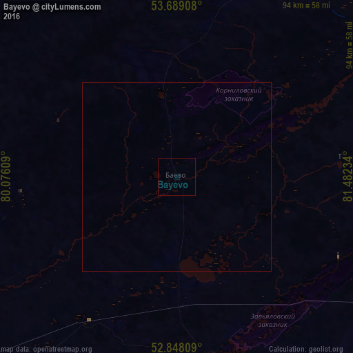
Analysis of Bayevo night lights 2016
Square area 10x10 km:
 0%
0%90-99
0%80-89
0%70-79
0%60-69
0%50-59
0%40-49
0%30-39
0%20-29
0%10-19
0%0-9
100%Square area 50x50 km:
0%90-99
0%80-89
0%70-79
0%60-69
0%50-59
0%40-49
0%30-39
0%20-29
0%10-19
0%0-9
100%Clear (daylight) street map image can be seen on geolist.org.
Map coordinates:
53° 41' 20.7" North, 80° 4' 33.9" East
53° 16' 14.3" North, 80° 46' 45.2" East
52° 50' 53.1" North, 81° 28' 56.4" East
Some cities around Bayevo sort by population:
• Kamen’-na-Obi
68.5 km =42.6 mi,  32°
32°
• Blagoveshchenka
78 km =48.5 mi,  231°
231°
• Zav’yalovo
49 km =30.4 mi,  168°
168°
• Mamontovo
84.6 km =52.6 mi,  138°
138°
• Romanovo
78.5 km =48.8 mi,  157°
157°
• Tyumentsevo
48.1 km =29.9 mi,  83°
83°
• Pervomayskiy
70.9 km =44.1 mi,  123°
123°
• Pankrushikha
68.8 km =42.8 mi,  335°
335°
1510709 (p: 5,134)
Sources (retrieved 2019-11-25):
» Earth at Night: Flat Maps 2012, 2016