Blagoveshchenka night lights from space
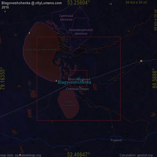
Night Light of Blagoveshchenka (Altai Krai) from space (Russia) Src. Average luminocity for 10x10km area is 0.1907% and for 50x50km: 0.0201%.
Analysis of Blagoveshchenka night lights 2016
Square area 10x10 km:
 0%
0%90-99
0%80-89
0%70-79
0%60-69
0%50-59
0%40-49
0%30-39
0%20-29
0.51%10-19
0.25%0-9
99.24%Square area 50x50 km:
0%90-99
0%80-89
0%70-79
0%60-69
0%50-59
0%40-49
0.02%30-39
0%20-29
0.02%10-19
0.02%0-9
99.94%Clear (daylight) street map image can be seen on geolist.org.
Map coordinates:
53° 15' 21.7" North, 79° 9' 48.8" East
52° 49' 60" North, 79° 52' 0" East
52° 24' 23.3" North, 80° 34' 11.3" East
Some cities around Blagoveshchenka sort by population:
• Slavgorod
83.9 km =52.1 mi,  282°
282°
• Yarovoye
87 km =54.1 mi, 276°
• Kulunda
69.2 km =43 mi,  244°
244°
• Rodino
43.7 km =27.2 mi,  148°
148°
• Zav’yalovo
70.7 km =43.9 mi,  89°
89°
• Klyuchi
79.9 km =49.6 mi,  216°
216°
• Khabary
90.9 km =56.5 mi,  345°
345°
• Bayevo
78 km =48.5 mi,  51°
51°
1509999 (p: 12,319)
Sources (retrieved 2019-11-25):
» Earth at Night: Flat Maps 2012, 2016