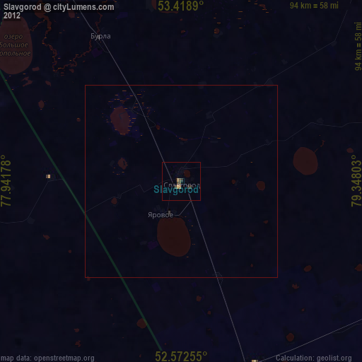
Slavgorod night lights from space
Night Light of Slavgorod (Altai Krai) from space (Russia) Src. Average luminocity for 10x10km area is 1.3413% and for 50x50km: 0.0834%.
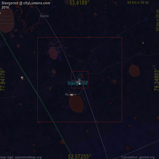
Analysis of Slavgorod night lights 2016
Square area 10x10 km:
 0%
0%90-99
0%80-89
0%70-79
0%60-69
1.06%50-59
0%40-49
0.53%30-39
0%20-29
0.66%10-19
1.46%0-9
96.3%Square area 50x50 km:
0%90-99
0%80-89
0%70-79
0%60-69
0.04%50-59
0.02%40-49
0.06%30-39
0%20-29
0.03%10-19
0.06%0-9
99.79%Clear (daylight) street map image can be seen on geolist.org.
Map coordinates:
53° 25' 8" North, 77° 56' 30.4" East
52° 59' 52.1" North, 78° 38' 41.6" East
52° 34' 21.2" North, 79° 20' 52.9" East
Some cities around Slavgorod sort by population:
• Karasuk
91.5 km =56.9 mi,  334°
334°
• Yarovoye
9 km =5.6 mi,  209°
209°
• Kulunda
51.9 km =32.2 mi,  157°
157°
• Blagoveshchenka
83.9 km =52.1 mi,  102°
102°
• Krasnozërskoye
116.3 km =72.3 mi,  19°
19°
• Rodino
118.7 km =73.8 mi,  117°
117°
• Klyuchi
90 km =55.9 mi, 156°
• Khabary
91.5 km =56.9 mi,  40°
40°
1491706 (p: 34,141)
Sources (retrieved 2019-11-25):
» Earth at Night: Flat Maps 2012, 2016