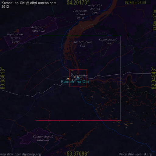
Kamen’-na-Obi night lights from space
Night Light of Kamen’-na-Obi (Altai Krai) from space (Russia) Src. Average luminocity for 10x10km area is 3.3241% and for 50x50km: 0.147%.

Analysis of Kamen’-na-Obi night lights 2016
Square area 10x10 km:
 0%
0%90-99
0%80-89
0%70-79
0.53%60-69
0.13%50-59
2.25%40-49
2.25%30-39
0.4%20-29
0%10-19
0.93%0-9
93.52%Square area 50x50 km:
0%90-99
0%80-89
0%70-79
0.02%60-69
0.01%50-59
0.1%40-49
0.11%30-39
0.02%20-29
0%10-19
0.04%0-9
99.72%Clear (daylight) street map image can be seen on geolist.org.
Map coordinates:
54° 12' 6.2" North, 80° 38' 21" East
53° 47' 18.2" North, 81° 20' 32.3" East
53° 22' 15.5" North, 82° 2' 43.5" East
Some cities around Kamen’-na-Obi sort by population:
• Suzun
63.7 km =39.6 mi,  90°
90°
• Ordynskoye
73.8 km =45.9 mi,  29°
29°
• Zav’yalovo
109.3 km =67.9 mi,  194°
194°
• Rebrikha
103.4 km =64.2 mi,  140°
140°
• Tyumentsevo
52.8 km =32.8 mi,  168°
168°
• Pervomayskiy
99.2 km =61.6 mi, 167°
• Pankrushikha
65.9 km =40.9 mi,  274°
274°
• Bayevo
68.5 km =42.6 mi,  212°
212°
1504871 (p: 44,564)
Sources (retrieved 2019-11-25):
» Earth at Night: Flat Maps 2012, 2016