Kyshtym night lights from space
Night Light of Kyshtym (Chelyabinsk) from space (Russia) Src. Average luminocity for 10x10km area is 24.4809% and for 50x50km: 3.4543%.
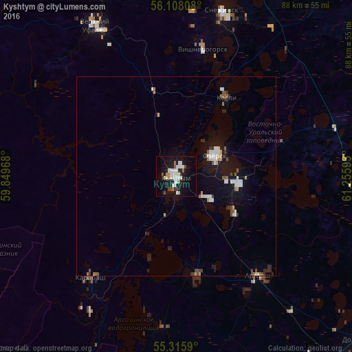
Analysis of Kyshtym night lights 2016
Square area 10x10 km:
 5.5%
5.5%90-99
5.98%80-89
2.75%70-79
0.6%60-69
2.75%50-59
1.2%40-49
2.27%30-39
0.48%20-29
1.2%10-19
31.7%0-9
45.57%Square area 50x50 km:
0.66%90-99
0.65%80-89
0.19%70-79
0.26%60-69
0.33%50-59
0.35%40-49
0.36%30-39
0.27%20-29
0.51%10-19
3.32%0-9
93.11%Clear (daylight) street map image can be seen on geolist.org.
Map coordinates:
56° 6' 29.1" North, 59° 50' 58.8" East
55° 42' 50.4" North, 60° 33' 10.1" East
55° 18' 57.2" North, 61° 15' 21.3" East
Some cities around Kyshtym sort by population:
• Ozersk
10.5 km =6.5 mi,  63°
63°
• Snezhinsk
42.7 km =26.5 mi,  15°
15°
• Verkhniy Ufaley
42.7 km =26.5 mi,  332°
332°
• Kasli
23.6 km =14.7 mi,  33°
33°
• Karabash
33.5 km =20.8 mi,  219°
219°
• Argayash
32.3 km =20.1 mi,  140°
140°
• Novogornyy
17.7 km =11 mi,  121°
121°
• Vishnëvogorsk
31.5 km =19.6 mi,  12°
12°
1500997 (p: 41,625)
Sources (retrieved 2019-11-25):
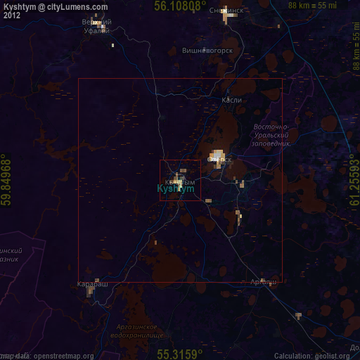
» Earth at Night: Flat Maps 2012, 2016