Akhtubinsk night lights from space
Night Light of Akhtubinsk (Astrakhan) from space (Russia) Src. Average luminocity for 10x10km area is 21.6235% and for 50x50km: 0.9638%.
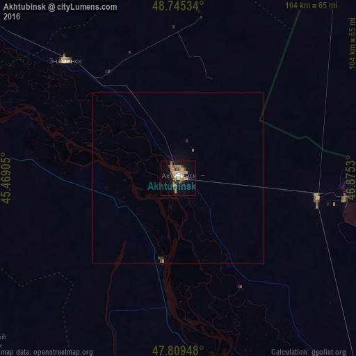
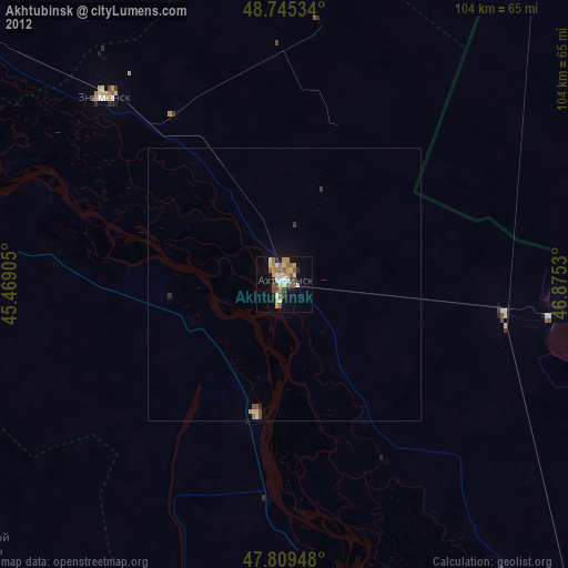
Analysis of Akhtubinsk night lights 2016
Square area 10x10 km:
 1.79%
1.79%90-99
2.23%80-89
2.38%70-79
6.25%60-69
2.83%50-59
3.13%40-49
3.72%30-39
2.08%20-29
2.53%10-19
16.37%0-9
56.7%Square area 50x50 km:
0.07%90-99
0.08%80-89
0.09%70-79
0.24%60-69
0.13%50-59
0.14%40-49
0.14%30-39
0.12%20-29
0.15%10-19
0.71%0-9
98.11%Clear (daylight) street map image can be seen on geolist.org.
Map coordinates:
48° 44' 43.2" North, 45° 28' 8.6" East
48° 16' 46.4" North, 46° 10' 19.8" East
47° 48' 34.1" North, 46° 52' 31.1" East
Some cities around Akhtubinsk sort by population:
• Znamensk
46.8 km =29.1 mi,  316°
316°
• Leninsk
85.8 km =53.3 mi,  303°
303°
• Srednyaya Akhtuba
107.4 km =66.7 mi, 296°
• Svetlyy Yar
105 km =65.2 mi,  281°
281°
• Verkhniy Baskunchak
41.1 km =25.5 mi,  98°
98°
• Chyorny Yar
24.6 km =15.3 mi,  190°
190°
• Kapustin Yar
46.1 km =28.6 mi, 316°
• Tsagan Aman
89.5 km =55.6 mi,  152°
152°
583798 (p: 44,551)
Sources (retrieved 2019-11-25):
» Earth at Night: Flat Maps 2012, 2016