Gornozavodsk night lights from space
Night Light of Gornozavodsk (Perm) from space (Russia) Src. Average luminocity for 10x10km area is 9.6224% and for 50x50km: 0.4815%.
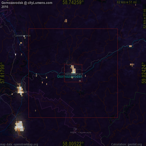
Analysis of Gornozavodsk night lights 2016
Square area 10x10 km:
 0.34%
0.34%90-99
0.57%80-89
3.63%70-79
0.45%60-69
2.72%50-59
1.36%40-49
0.68%30-39
1.13%20-29
0%10-19
0.34%0-9
88.78%Square area 50x50 km:
0.01%90-99
0.02%80-89
0.15%70-79
0.04%60-69
0.13%50-59
0.07%40-49
0.06%30-39
0.08%20-29
0%10-19
0.01%0-9
99.42%Clear (daylight) street map image can be seen on geolist.org.
Map coordinates:
58° 44' 33.3" North, 57° 37' 4.8" East
58° 22' 33" North, 58° 19' 16" East
58° 0' 18.8" North, 59° 1' 27.3" East
Some cities around Gornozavodsk sort by population:
• Lys’va
42.4 km =26.3 mi,  225°
225°
• Chusovoy
30.8 km =19.1 mi,  254°
254°
• Kachkanar
76.5 km =47.5 mi,  61°
61°
• Gubakha
68 km =42.3 mi,  319°
319°
• Kizel
84.2 km =52.3 mi,  332°
332°
• Gremyachinsk
34.2 km =21.3 mi,  306°
306°
• Baranchinskiy
84 km =52.2 mi,  106°
106°
• Ugleural’skiy
75.9 km =47.2 mi, 326°
559752 (p: 12,796)
Sources (retrieved 2019-11-25):
» Earth at Night: Flat Maps 2012, 2016