Dukhovnitskoye night lights from space
Night Light of Dukhovnitskoye (Saratovskaya Oblast) from space (Russia) Src. Average luminocity for 10x10km area is 0.1199% and for 50x50km: 0.0719%.
Analysis of Dukhovnitskoye night lights 2016
Square area 10x10 km:
 0%
0%90-99
0%80-89
0%70-79
0%60-69
0%50-59
0%40-49
0%30-39
0%20-29
0.51%10-19
0%0-9
99.49%Square area 50x50 km:
0%90-99
0%80-89
0%70-79
0%60-69
0.02%50-59
0%40-49
0.06%30-39
0.06%20-29
0.02%10-19
0%0-9
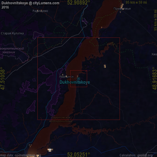
99.83%Clear (daylight) street map image can be seen on geolist.org.
Map coordinates:
52° 54' 32.1" North, 47° 30' 38.1" East
52° 28' 58.1" North, 48° 12' 49.3" East
52° 3' 9" North, 48° 55' 0.6" East
Some cities around Dukhovnitskoye sort by population:
• Balakovo
57.9 km =36 mi,  209°
209°
• Syzran’
77.1 km =47.9 mi,  12°
12°
• Vol’sk
74.7 km =46.4 mi,  229°
229°
• Pugachev
65.8 km =40.9 mi,  142°
142°
• Khvalynsk
7.4 km =4.6 mi,  276°
276°
• Ivanteyevka
65.1 km =40.5 mi,  111°
111°
• Staraya Kulatka
48.6 km =30.2 mi,  304°
304°
• Pavlovka
76.1 km =47.3 mi,  287°
287°
564241 (p: 5,943)
Sources (retrieved 2019-11-25):
» Earth at Night: Flat Maps 2012, 2016