Staraya Kulatka night lights from space
Night Light of Staraya Kulatka (Ulyanovsk) from space (Russia) Src. Average luminocity for 10x10km area is 0% and for 50x50km: 0.0139%.
Analysis of Staraya Kulatka night lights 2016
Square area 10x10 km:
 0%
0%90-99
0%80-89
0%70-79
0%60-69
0%50-59
0%40-49
0%30-39
0%20-29
0%10-19
0%0-9
100%Square area 50x50 km:
0%90-99
0%80-89
0%70-79
0%60-69
0%50-59
0%40-49
0%30-39
0.04%20-29
0%10-19
0%0-9
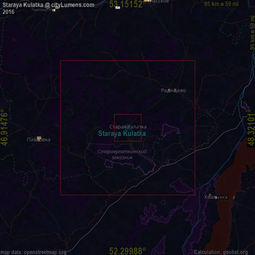
99.96%Clear (daylight) street map image can be seen on geolist.org.
Map coordinates:
53° 9' 5.5" North, 46° 54' 53.1" East
52° 43' 40" North, 47° 37' 4.4" East
52° 17' 59.6" North, 48° 19' 15.6" East
Some cities around Staraya Kulatka sort by population:
• Syzran’
74.4 km =46.2 mi,  49°
49°
• Khvalynsk
42.2 km =26.2 mi,  128°
128°
• Novospasskoye
47.4 km =29.5 mi,  10°
10°
• Shikhany
73.5 km =45.7 mi,  202°
202°
• Nikolayevka
52.2 km =32.4 mi,  327°
327°
• Pavlovka
32.4 km =20.1 mi,  262°
262°
• Dukhovnitskoye
48.6 km =30.2 mi,  124°
124°
• Neverkino
59.3 km =36.8 mi,  276°
276°
489164 (p: 6,022)
Sources (retrieved 2019-11-25):
» Earth at Night: Flat Maps 2012, 2016