Dobrinka night lights from space
Night Light of Dobrinka (Lipetsk Oblast) from space (Russia) Src. Average luminocity for 10x10km area is 2.5304% and for 50x50km: 0.2481%.
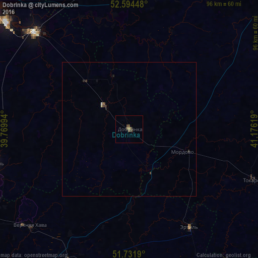
Analysis of Dobrinka night lights 2016
Square area 10x10 km:
 0%
0%90-99
0%80-89
0%70-79
0.53%60-69
0.53%50-59
1.06%40-49
1.19%30-39
0.93%20-29
0.53%10-19
0%0-9
95.24%Square area 50x50 km:
0.01%90-99
0.01%80-89
0.02%70-79
0.02%60-69
0.02%50-59
0.06%40-49
0.12%30-39
0.11%20-29
0.1%10-19
0.04%0-9
99.49%Clear (daylight) street map image can be seen on geolist.org.
Map coordinates:
52° 35' 40.1" North, 39° 46' 11.8" East
52° 9' 55" North, 40° 28' 23" East
51° 43' 54.8" North, 41° 10' 34.3" East
Some cities around Dobrinka sort by population:
• Gryazi
51.9 km =32.2 mi,  315°
315°
• Usman’
52.5 km =32.6 mi,  255°
255°
• Ertil’
42.7 km =26.5 mi,  147°
147°
• Verkhnyaya Khava
51.3 km =31.9 mi,  225°
225°
• Panino
62.2 km =38.6 mi,  201°
201°
• Mordovo
22.2 km =13.8 mi,  114°
114°
• Krasnolesnyy
68.3 km =42.4 mi,  242°
242°
• Sadovoye
70.5 km =43.8 mi,  178°
178°
565857 (p: 10,063)
Sources (retrieved 2019-11-25):
» Earth at Night: Flat Maps 2012, 2016