Krasnolesnyy night lights from space
Night Light of Krasnolesnyy (Voronezj) from space (Russia) Src. Average luminocity for 10x10km area is 0.7033% and for 50x50km: 4.1449%.
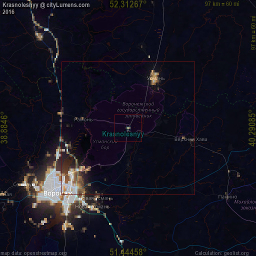
Analysis of Krasnolesnyy night lights 2016
Square area 10x10 km:
 0%
0%90-99
0%80-89
0%70-79
0%60-69
0%50-59
0.51%40-49
0.51%30-39
0%20-29
0.51%10-19
0.51%0-9
97.98%Square area 50x50 km:
0.79%90-99
0.62%80-89
0.42%70-79
0.42%60-69
0.48%50-59
0.67%40-49
0.8%30-39
0.52%20-29
1.19%10-19
2.17%0-9
91.91%Clear (daylight) street map image can be seen on geolist.org.
Map coordinates:
52° 18' 45.6" North, 38° 53' 4.6" East
51° 52' 50.6" North, 39° 35' 15.8" East
51° 26' 40.5" North, 40° 17' 27.1" East
Some cities around Krasnolesnyy sort by population:
• Voronezh
36.2 km =22.5 mi,  230°
230°
• Novaya Usman’
29.3 km =18.2 mi,  204°
204°
• Usman’
20.8 km =12.9 mi,  27°
27°
• Somovo
21.7 km =13.5 mi,  224°
224°
• Ramon’
17.7 km =11 mi,  282°
282°
• Verkhnyaya Khava
24.7 km =15.3 mi,  100°
100°
• Volya
13.3 km =8.3 mi,  194°
194°
• Podgornoye
34.2 km =21.3 mi,  241°
241°
461705 (p: 5,305)
Sources (retrieved 2019-11-25):
» Earth at Night: Flat Maps 2012, 2016