Mordovo night lights from space
Night Light of Mordovo (Tambov) from space (Russia) Src. Average luminocity for 10x10km area is 0.2077% and for 50x50km: 0.1212%.
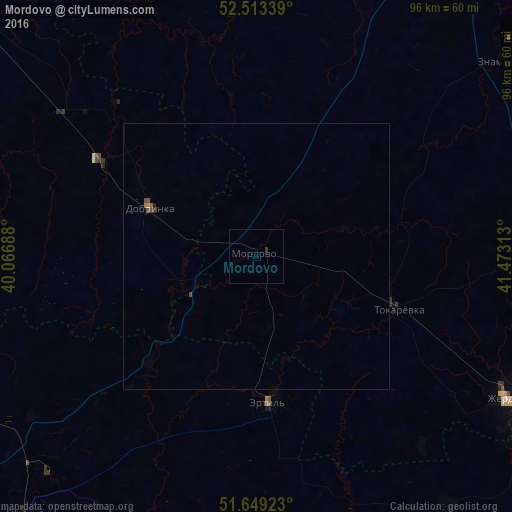
Analysis of Mordovo night lights 2016
Square area 10x10 km:
 0%
0%90-99
0%80-89
0%70-79
0%60-69
0%50-59
0%40-49
0%30-39
0.53%20-29
0%10-19
0%0-9
99.47%Square area 50x50 km:
0%90-99
0%80-89
0%70-79
0.02%60-69
0.02%50-59
0.04%40-49
0.07%30-39
0.06%20-29
0.02%10-19
0%0-9
99.77%Clear (daylight) street map image can be seen on geolist.org.
Map coordinates:
52° 30' 48.2" North, 40° 4' 0.8" East
52° 5' 0.2" North, 40° 46' 12" East
51° 38' 57.2" North, 41° 28' 23.3" East
Some cities around Mordovo sort by population:
• Anna
70.6 km =43.9 mi,  199°
199°
• Zherdevka
54 km =33.6 mi,  118°
118°
• Ertil’
27.1 km =16.8 mi,  174°
174°
• Dobrinka
22.2 km =13.8 mi,  294°
294°
• Znamenka
58.3 km =36.2 mi,  50°
50°
• Verkhnyaya Khava
62.9 km =39.1 mi,  244°
244°
• Panino
65.3 km =40.6 mi,  221°
221°
• Sadovoye
64.1 km =39.8 mi, 196°
525365 (p: 7,112)
Sources (retrieved 2019-11-25):
» Earth at Night: Flat Maps 2012, 2016