Panino night lights from space
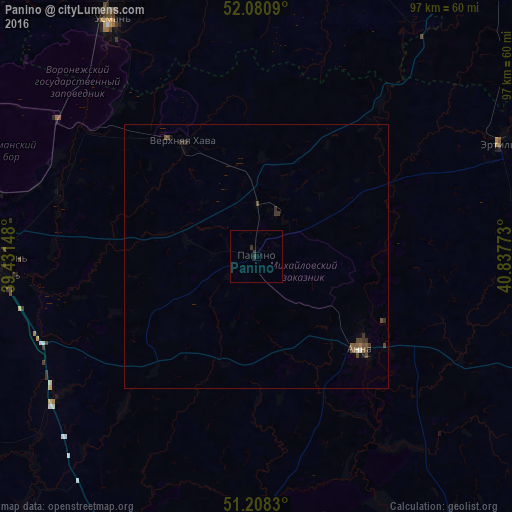
Night Light of Panino (Voronezj) from space (Russia) Src. Average luminocity for 10x10km area is 0.5462% and for 50x50km: 0.392%.
Analysis of Panino night lights 2016
Square area 10x10 km:
 0%
0%90-99
0%80-89
0%70-79
0%60-69
0%50-59
0%40-49
0%30-39
0.84%20-29
0.84%10-19
0%0-9
98.32%Square area 50x50 km:
0.01%90-99
0.03%80-89
0%70-79
0%60-69
0.06%50-59
0.09%40-49
0.19%30-39
0.24%20-29
0.14%10-19
0.04%0-9
99.21%Clear (daylight) street map image can be seen on geolist.org.
Map coordinates:
52° 4' 51.2" North, 39° 25' 53.3" East
51° 38' 48.1" North, 40° 8' 4.6" East
51° 12' 29.9" North, 40° 50' 15.8" East
Some cities around Panino sort by population:
• Novaya Usman’
50.1 km =31.1 mi,  269°
269°
• Usman’
52.5 km =32.6 mi,  327°
327°
• Anna
27.3 km =17 mi,  131°
131°
• Ertil’
51 km =31.7 mi,  64°
64°
• Verkhnyaya Khava
25.3 km =15.7 mi, 328°
• Volya
43 km =26.7 mi,  287°
287°
• Krasnolesnyy
45.8 km =28.5 mi,  304°
304°
• Sadovoye
28.4 km =17.6 mi,  116°
116°
512861 (p: 7,164)
Sources (retrieved 2019-11-25):
» Earth at Night: Flat Maps 2012, 2016