Debesy night lights from space
Night Light of Debesy (Udmurtiya Republic) from space (Russia) Src. Average luminocity for 10x10km area is 0% and for 50x50km: 0.0001%.
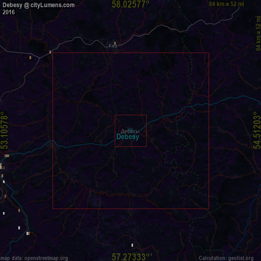
Analysis of Debesy night lights 2016
Square area 10x10 km:
 0%
0%90-99
0%80-89
0%70-79
0%60-69
0%50-59
0%40-49
0%30-39
0%20-29
0%10-19
0%0-9
100%Square area 50x50 km:
0%90-99
0%80-89
0%70-79
0%60-69
0%50-59
0%40-49
0%30-39
0%20-29
0%10-19
0%0-9
100%Clear (daylight) street map image can be seen on geolist.org.
Map coordinates:
58° 1' 32.8" North, 53° 6' 20.8" East
57° 39' 5.4" North, 53° 48' 32" East
57° 16' 24" North, 54° 30' 43.3" East
Some cities around Debesy sort by population:
• Glazov
87 km =54.1 mi,  308°
308°
• Votkinsk
67.9 km =42.2 mi,  170°
170°
• Vereshchagino
69 km =42.9 mi,  46°
46°
• Igra
46.2 km =28.7 mi,  256°
256°
• Balezino
59.5 km =37 mi, 307°
• Ochër
60.2 km =37.4 mi,  63°
63°
• Kez
27.7 km =17.2 mi,  348°
348°
• Sharkan
39.4 km =24.5 mi, 174°
566908 (p: 5,800)
Sources (retrieved 2019-11-25):
» Earth at Night: Flat Maps 2012, 2016