Ochër night lights from space
Night Light of Ochër (Perm) from space (Russia) Src. Average luminocity for 10x10km area is 0.6321% and for 50x50km: 0.3103%.
Analysis of Ochër night lights 2016
Square area 10x10 km:
 0%
0%90-99
0%80-89
0%70-79
0%60-69
0.48%50-59
0%40-49
0%30-39
0.83%20-29
0.12%10-19
0%0-9
98.57%Square area 50x50 km:
0.01%90-99
0.01%80-89
0.02%70-79
0.02%60-69
0.12%50-59
0.17%40-49
0.07%30-39
0.05%20-29
0%10-19
0%0-9
99.53%Clear (daylight) street map image can be seen on geolist.org.
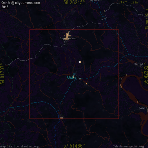
Map coordinates:
58° 15' 43.7" North, 54° 1' 1.5" East
57° 53' 25.3" North, 54° 43' 12.7" East
57° 30' 52.8" North, 55° 25' 24" East
Some cities around Ochër sort by population:
• Krasnokamsk
64.5 km =40.1 mi,  70°
70°
• Vereshchagino
21.3 km =13.2 mi,  349°
349°
• Nytva
37.1 km =23.1 mi,  80°
80°
• Kez
59.5 km =37 mi,  270°
270°
• Okhansk
43.9 km =27.3 mi,  115°
115°
• Yugo-Kamskiy
55.6 km =34.5 mi,  112°
112°
• Karagay
43.7 km =27.2 mi,  16°
16°
• Debesy
60.2 km =37.4 mi,  243°
243°
516256 (p: 15,395)
Sources (retrieved 2019-11-25):
» Earth at Night: Flat Maps 2012, 2016