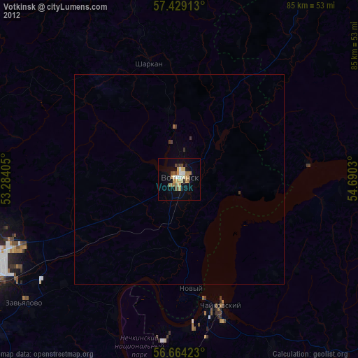
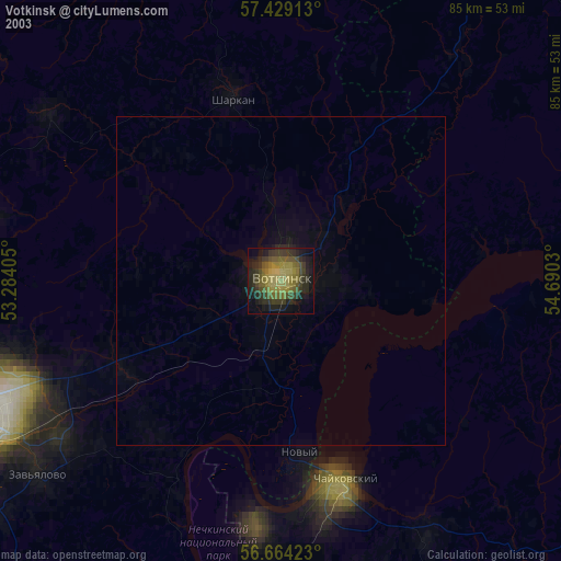
Votkinsk night lights from space
Night Light of Votkinsk (Udmurtiya Republic) from space (Russia) Src. Average luminocity for 10x10km area is 24.4114% and for 50x50km: 1.1776%.


Analysis of Votkinsk night lights 2016
Square area 10x10 km:
 3.18%
3.18%90-99
5.8%80-89
2.39%70-79
2.73%60-69
4.32%50-59
2.5%40-49
2.27%30-39
0.91%20-29
1.02%10-19
29.09%0-9
45.8%Square area 50x50 km:
0.13%90-99
0.24%80-89
0.1%70-79
0.11%60-69
0.18%50-59
0.12%40-49
0.13%30-39
0.08%20-29
0.21%10-19
1.26%0-9
97.45%Clear (daylight) street map image can be seen on geolist.org.
Map coordinates:
57° 25' 44.9" North, 53° 17' 2.6" East
57° 2' 55.1" North, 53° 59' 13.8" East
56° 39' 51.2" North, 54° 41' 25.1" East
Some cities around Votkinsk sort by population:
• Izhevsk
52.4 km =32.6 mi,  245°
245°
• Sarapul
64.7 km =40.2 mi,  190°
190°
• Chaykovskiy
32.1 km =19.9 mi,  166°
166°
• Igra
79.4 km =49.3 mi,  315°
315°
• Sharkan
28.7 km =17.8 mi,  345°
345°
• Debesy
67.9 km =42.2 mi, 350°
• Sigayevo
70.9 km =44.1 mi, 190°
• Yelovo
56.5 km =35.1 mi,  89°
89°
471430 (p: 98,633)
Sources (retrieved 2019-11-25):
» NASA, Earths city lights 1995
» NASA city lights 2003
» Earth at Night: Flat Maps 2012, 2016