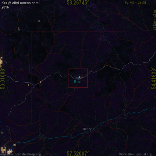
Kez night lights from space
Night Light of Kez (Udmurtiya Republic) from space (Russia) Src. Average luminocity for 10x10km area is 0.2619% and for 50x50km: 0.0192%.
Analysis of Kez night lights 2016
Square area 10x10 km:
 0%
0%90-99
0%80-89
0%70-79
0%60-69
0%50-59
0%40-49
0.48%30-39
0%20-29
0%10-19
0%0-9
99.52%Square area 50x50 km:
0%90-99
0%80-89
0%70-79
0%60-69
0%50-59
0%40-49
0.04%30-39
0%20-29
0%10-19
0%0-9
99.96%Clear (daylight) street map image can be seen on geolist.org.
Map coordinates:
58° 16' 2.8" North, 53° 0' 36.3" East
57° 53' 44.5" North, 53° 42' 47.5" East
57° 31' 12.3" North, 54° 24' 58.8" East
Some cities around Kez sort by population:
• Glazov
67.8 km =42.1 mi,  293°
293°
• Vereshchagino
59.2 km =36.8 mi,  69°
69°
• Igra
54.5 km =33.9 mi,  225°
225°
• Balezino
42.3 km =26.3 mi,  282°
282°
• Ochër
59.5 km =37 mi,  90°
90°
• Karagay
82.9 km =51.5 mi,  60°
60°
• Sharkan
67 km =41.6 mi,  171°
171°
• Debesy
27.7 km =17.2 mi, 168°
550902 (p: 10,792)
Sources (retrieved 2019-11-25):
» Earth at Night: Flat Maps 2012, 2016