Buturlinovka night lights from space
Night Light of Buturlinovka (Voronezj) from space (Russia) Src. Average luminocity for 10x10km area is 4.619% and for 50x50km: 0.1921%.
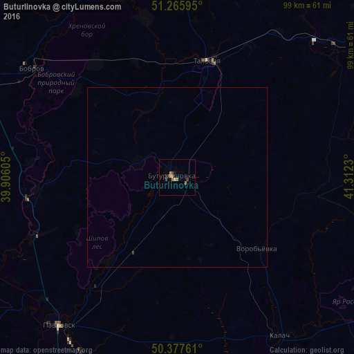
Analysis of Buturlinovka night lights 2016
Square area 10x10 km:
 0%
0%90-99
0%80-89
0.56%70-79
1.26%60-69
2.1%50-59
0%40-49
1.12%30-39
0.56%20-29
0.98%10-19
1.26%0-9
92.16%Square area 50x50 km:
0%90-99
0%80-89
0.02%70-79
0.05%60-69
0.08%50-59
0%40-49
0.06%30-39
0.03%20-29
0.04%10-19
0.05%0-9
99.67%Clear (daylight) street map image can be seen on geolist.org.
Map coordinates:
51° 15' 57.4" North, 39° 54' 21.8" East
50° 49' 26" North, 40° 36' 33" East
50° 22' 39.4" North, 41° 18' 44.3" East
Some cities around Buturlinovka sort by population:
• Pavlovsk
53.9 km =33.5 mi,  220°
220°
• Bobrov
50.4 km =31.3 mi,  306°
306°
• Kalach
53.1 km =33 mi,  146°
146°
• Anna
74.5 km =46.3 mi,  350°
350°
• Talovaya
33.4 km =20.8 mi,  14°
14°
• Khrenovoye
39.8 km =24.7 mi,  325°
325°
• Yelan’-Koleno
56.8 km =35.3 mi,  49°
49°
• Vorontsovka
29.5 km =18.3 mi, 217°
570563 (p: 28,581)
Sources (retrieved 2019-11-25):
» Earth at Night: Flat Maps 2012, 2016