Anna night lights from space
Night Light of Anna (Voronezj) from space (Russia) Src. Average luminocity for 10x10km area is 6.8837% and for 50x50km: 0.3209%.
Analysis of Anna night lights 2016
Square area 10x10 km:
 0.27%
0.27%90-99
0.8%80-89
0%70-79
0%60-69
1.47%50-59
2.01%40-49
2.81%30-39
3.21%20-29
0.67%10-19
0.53%0-9
88.24%Square area 50x50 km:
0.01%90-99
0.03%80-89
0%70-79
0%60-69
0.06%50-59
0.09%40-49
0.13%30-39
0.17%20-29
0.07%10-19
0.04%0-9
99.4%Clear (daylight) street map image can be seen on geolist.org.
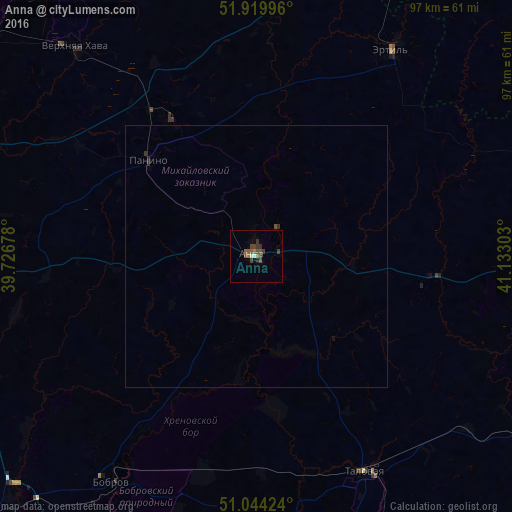
Map coordinates:
51° 55' 11.9" North, 39° 43' 36.4" East
51° 29' 3.1" North, 40° 25' 47.6" East
51° 2' 39.3" North, 41° 7' 58.9" East
Some cities around Anna sort by population:
• Bobrov
51.2 km =31.8 mi,  212°
212°
• Talovaya
46.1 km =28.6 mi,  153°
153°
• Ertil’
47.3 km =29.4 mi,  33°
33°
• Verkhnyaya Khava
52 km =32.3 mi,  319°
319°
• Panino
27.3 km =17 mi,  311°
311°
• Khrenovoye
41.7 km =25.9 mi,  193°
193°
• Yelan’-Koleno
66.8 km =41.5 mi,  123°
123°
• Sadovoye
7.2 km =4.5 mi,  43°
43°
581671 (p: 19,148)
Sources (retrieved 2019-11-25):
» Earth at Night: Flat Maps 2012, 2016