Pavlovsk night lights from space
Night Light of Pavlovsk (Voronezj) from space (Russia) Src. Average luminocity for 10x10km area is 4.451% and for 50x50km: 0.2932%.
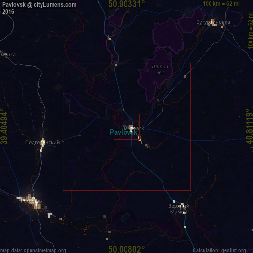
Analysis of Pavlovsk night lights 2016
Square area 10x10 km:
 0.56%
0.56%90-99
0.14%80-89
0.98%70-79
0.56%60-69
0%50-59
1.68%40-49
0.56%30-39
0%20-29
2.38%10-19
0.42%0-9
92.72%Square area 50x50 km:
0.04%90-99
0.01%80-89
0.04%70-79
0.02%60-69
0%50-59
0.09%40-49
0.08%30-39
0.02%20-29
0.19%10-19
0.06%0-9
99.45%Clear (daylight) street map image can be seen on geolist.org.
Map coordinates:
50° 54' 11.9" North, 39° 24' 17.8" East
50° 27' 28" North, 40° 6' 29" East
50° 0' 28.9" North, 40° 48' 40.3" East
Some cities around Pavlovsk sort by population:
• Rossosh’
48 km =29.8 mi,  233°
233°
• Buturlinovka
53.9 km =33.5 mi,  40°
40°
• Kalach
65.1 km =40.5 mi,  93°
93°
• Kamenka
56.3 km =35 mi,  300°
300°
• Verkhniy Mamon
38.1 km =23.7 mi,  149°
149°
• Podgorenskiy
33.5 km =20.8 mi,  259°
259°
• Mitrofanovka
61.6 km =38.3 mi,  208°
208°
• Vorontsovka
24.6 km =15.3 mi,  45°
45°
512053 (p: 26,565)
Sources (retrieved 2019-11-25):
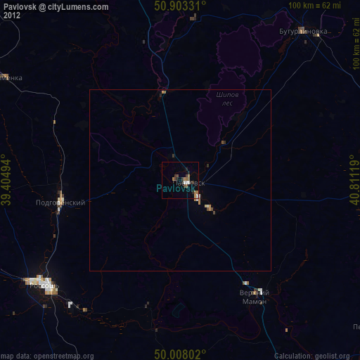
» Earth at Night: Flat Maps 2012, 2016