Yelan’-Koleno night lights from space
Night Light of Yelan’-Koleno (Voronezj) from space (Russia) Src. Average luminocity for 10x10km area is 0.4866% and for 50x50km: 0.1687%.
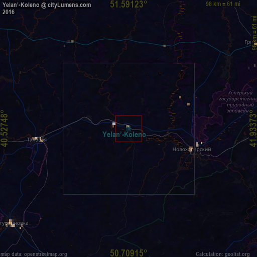
Analysis of Yelan’-Koleno night lights 2016
Square area 10x10 km:
 0%
0%90-99
0%80-89
0%70-79
0%60-69
0%50-59
0%40-49
0.53%30-39
0.53%20-29
0%10-19
0%0-9
98.93%Square area 50x50 km:
0.03%90-99
0.01%80-89
0%70-79
0%60-69
0.01%50-59
0.08%40-49
0.09%30-39
0.06%20-29
0%10-19
0%0-9
99.72%Clear (daylight) street map image can be seen on geolist.org.
Map coordinates:
51° 35' 28.4" North, 40° 31' 38.9" East
51° 9' 8.3" North, 41° 13' 50.2" East
50° 42' 32.9" North, 41° 56' 1.4" East
Some cities around Yelan’-Koleno sort by population:
• Borisoglebsk
64.1 km =39.8 mi,  68°
68°
• Buturlinovka
56.8 km =35.3 mi,  229°
229°
• Anna
66.8 km =41.5 mi,  303°
303°
• Gribanovskiy
62 km =38.5 mi,  56°
56°
• Talovaya
35.2 km =21.9 mi,  263°
263°
• Novokhopërsk
28.2 km =17.5 mi,  102°
102°
• Khrenovoye
65.8 km =40.9 mi,  266°
266°
• Sadovoye
65.8 km =40.9 mi,  309°
309°
468044 (p: 5,270)
Sources (retrieved 2019-11-25):
» Earth at Night: Flat Maps 2012, 2016