Vorontsovka night lights from space
Night Light of Vorontsovka (Voronezj) from space (Russia) Src. Average luminocity for 10x10km area is 0.0254% and for 50x50km: 0.4797%.
Analysis of Vorontsovka night lights 2016
Square area 10x10 km:
 0%
0%90-99
0%80-89
0%70-79
0%60-69
0%50-59
0%40-49
0%30-39
0%20-29
0%10-19
0%0-9
100%Square area 50x50 km:
0.04%90-99
0.01%80-89
0.06%70-79
0.07%60-69
0.1%50-59
0.09%40-49
0.13%30-39
0.08%20-29
0.21%10-19
0.09%0-9
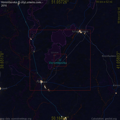
99.13%Clear (daylight) street map image can be seen on geolist.org.
Map coordinates:
51° 3' 26.1" North, 39° 39' 6.4" East
50° 36' 47.5" North, 40° 21' 17.6" East
50° 9' 53.7" North, 41° 3' 28.9" East
Some cities around Vorontsovka sort by population:
• Buturlinovka
29.5 km =18.3 mi,  37°
37°
• Pavlovsk
24.6 km =15.3 mi,  225°
225°
• Bobrov
58.2 km =36.2 mi,  337°
337°
• Kalach
51.8 km =32.2 mi,  113°
113°
• Talovaya
61.6 km =38.3 mi,  25°
25°
• Verkhniy Mamon
50 km =31.1 mi,  177°
177°
• Podgorenskiy
55.4 km =34.4 mi,  245°
245°
• Khrenovoye
56.5 km =35.1 mi,  355°
355°
471909 (p: 5,067)
Sources (retrieved 2019-11-25):
» Earth at Night: Flat Maps 2012, 2016