Poyarkovo night lights from space
Night Light of Poyarkovo (Amur Oblast) from space (Russia) Src. Average luminocity for 10x10km area is 1.458% and for 50x50km: 0.084%.
Analysis of Poyarkovo night lights 2016
Square area 10x10 km:
 0%
0%90-99
0%80-89
0%70-79
0%60-69
0.56%50-59
0%40-49
0.56%30-39
0.28%20-29
2.38%10-19
0.14%0-9
96.08%Square area 50x50 km:
0%90-99
0%80-89
0%70-79
0%60-69
0.02%50-59
0%40-49
0.04%30-39
0.06%20-29
0.09%10-19
0.01%0-9
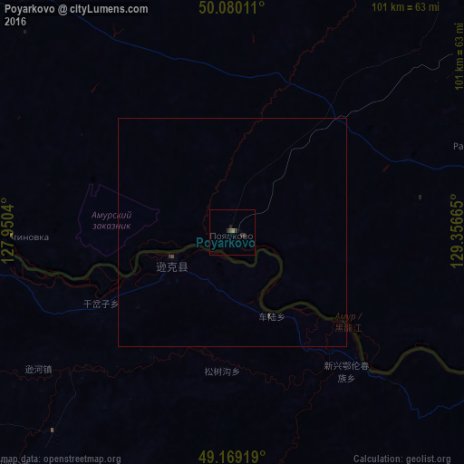
99.78%Clear (daylight) street map image can be seen on geolist.org.
Map coordinates:
50° 4' 48.4" North, 127° 57' 1.4" East
49° 37' 36.4" North, 128° 39' 12.7" East
49° 10' 9.1" North, 129° 21' 23.9" East
Some cities around Poyarkovo sort by population:
• Raychikhinsk
57.3 km =35.6 mi,  71°
71°
• Zavitinsk
78 km =48.5 mi,  46°
46°
• Arkhara
105.8 km =65.7 mi,  102°
102°
• Yekaterinoslavka
89.2 km =55.4 mi,  21°
21°
• Novobureyskiy
89.8 km =55.8 mi,  77°
77°
• Tambovka
67.8 km =42.1 mi,  320°
320°
• Konstantinovka
47.8 km =29.7 mi,  268°
268°
• Bureya
85.8 km =53.3 mi, 76°
2017705 (p: 7,003)
Sources (retrieved 2019-11-25):
» Earth at Night: Flat Maps 2012, 2016