Rodino night lights from space
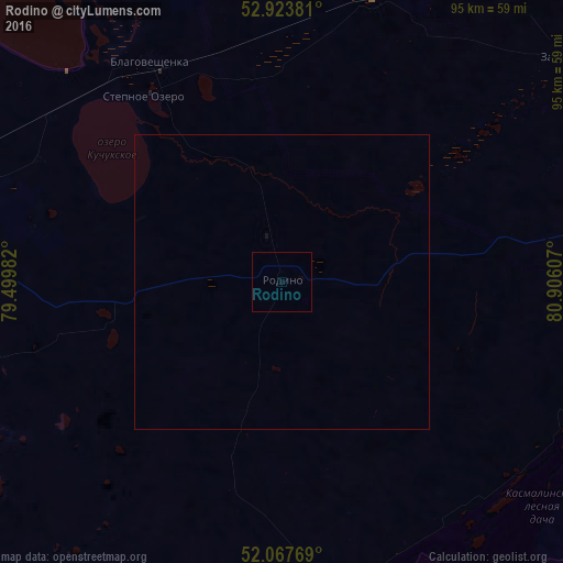
Night Light of Rodino (Altai Krai) from space (Russia) Src. Average luminocity for 10x10km area is 0.0079% and for 50x50km: 0.005%.
Analysis of Rodino night lights 2016
Square area 10x10 km:
 0%
0%90-99
0%80-89
0%70-79
0%60-69
0%50-59
0%40-49
0%30-39
0%20-29
0%10-19
0%0-9
100%Square area 50x50 km:
0%90-99
0%80-89
0%70-79
0%60-69
0%50-59
0%40-49
0%30-39
0%20-29
0%10-19
0.02%0-9
99.98%Clear (daylight) street map image can be seen on geolist.org.
Map coordinates:
52° 55' 25.7" North, 79° 29' 59.4" East
52° 29' 52.2" North, 80° 12' 10.6" East
52° 4' 3.7" North, 80° 54' 21.9" East
Some cities around Rodino sort by population:
• Kulunda
85.9 km =53.4 mi,  275°
275°
• Blagoveshchenka
43.7 km =27.2 mi,  328°
328°
• Mikhaylovskoye
81.9 km =50.9 mi,  203°
203°
• Volchikha
54.9 km =34.1 mi,  168°
168°
• Zav’yalovo
61.4 km =38.2 mi,  51°
51°
• Klyuchi
75.3 km =46.8 mi,  248°
248°
• Romanovo
70.5 km =43.8 mi,  79°
79°
• Bayevo
94.2 km =58.5 mi,  24°
24°
1493623 (p: 9,537)
Sources (retrieved 2019-11-25):
» Earth at Night: Flat Maps 2012, 2016