Tashtyp night lights from space
Night Light of Tashtyp (Khakasiya Republic) from space (Russia) Src. Average luminocity for 10x10km area is 0% and for 50x50km: 0.0685%.
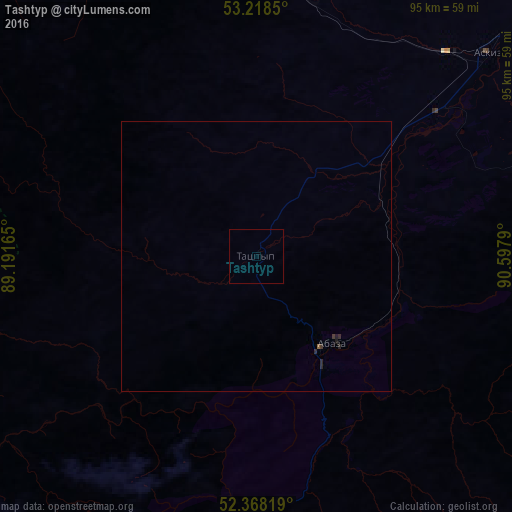
Analysis of Tashtyp night lights 2016
Square area 10x10 km:
 0%
0%90-99
0%80-89
0%70-79
0%60-69
0%50-59
0%40-49
0%30-39
0%20-29
0%10-19
0%0-9
100%Square area 50x50 km:
0%90-99
0%80-89
0%70-79
0%60-69
0%50-59
0.02%40-49
0%30-39
0.05%20-29
0.09%10-19
0.04%0-9
99.79%Clear (daylight) street map image can be seen on geolist.org.
Map coordinates:
53° 13' 6.6" North, 89° 11' 29.9" East
52° 47' 43.5" North, 89° 53' 41.2" East
52° 22' 5.5" North, 90° 35' 52.4" East
Some cities around Tashtyp sort by population:
• Sayanogorsk
105.9 km =65.8 mi,  72°
72°
• Abaza
20.5 km =12.7 mi,  139°
139°
• Sheregesh
128.8 km =80 mi,  276°
276°
• Cherëmushki
102.5 km =63.7 mi,  86°
86°
• Belyy Yar
134.2 km =83.4 mi,  47°
47°
• Askiz
56.5 km =35.1 mi, 48°
• Beya
74.1 km =46 mi, 67°
• Mayna
109.1 km =67.8 mi,  77°
77°
1490036 (p: 6,379)
Sources (retrieved 2019-11-25):
» Earth at Night: Flat Maps 2012, 2016