Užice night lights from space
Night Light of Užice (Central Serbia) from space (Serbia) Src. Average luminocity for 10x10km area is 24.8429% and for 50x50km: 3.4394%.
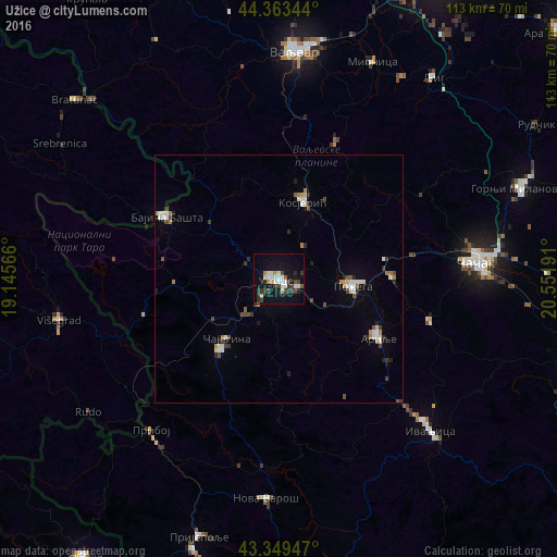
Analysis of Užice night lights 2016
Square area 10x10 km:
 5.4%
5.4%90-99
4.76%80-89
1.27%70-79
2.38%60-69
0.32%50-59
1.11%40-49
5.08%30-39
6.51%20-29
3.65%10-19
27.62%0-9
41.9%Square area 50x50 km:
0.59%90-99
0.63%80-89
0.18%70-79
0.28%60-69
0.32%50-59
0.25%40-49
0.64%30-39
0.53%20-29
0.54%10-19
1.52%0-9
94.52%Clear (daylight) street map image can be seen on geolist.org.
Map coordinates:
44° 21' 48.4" North, 19° 8' 44.4" East
43° 51' 31" North, 19° 50' 55.6" East
43° 20' 58.1" North, 20° 33' 6.9" East
Some cities around Užice sort by population:
• Čačak
40.3 km =25 mi,  84°
84°
• Valjevo
46.5 km =28.9 mi,  4°
4°
• Gornji Milanovac
52.5 km =32.6 mi,  69°
69°
• Lazarevac
67 km =41.6 mi,  29°
29°
• Pljevlja, ME
68.4 km =42.5 mi,  215°
215°
• Bajina Bašta
25.8 km =16 mi,  298°
298°
• Arilje
23 km =14.3 mi,  120°
120°
• Višegrad, BA
45.4 km =28.2 mi,  259°
259°
3188434 (p: 63,577)
Sources (retrieved 2019-11-25):
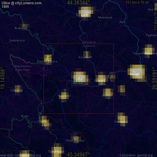
» NASA, Earths city lights 1995
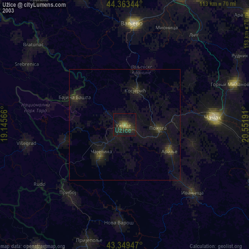
» NASA city lights 2003
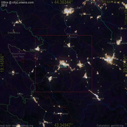
» Earth at Night: Flat Maps 2012, 2016