Valjevo night lights from space
Night Light of Valjevo (Central Serbia) from space (Serbia) Src. Average luminocity for 10x10km area is 33.2455% and for 50x50km: 3.0991%.
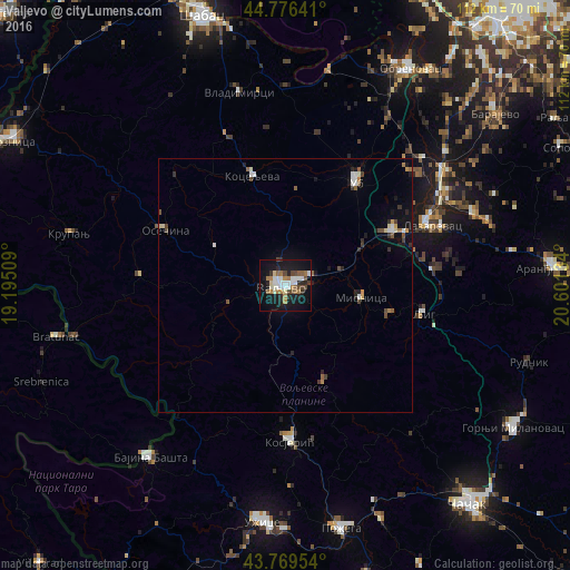
Analysis of Valjevo night lights 2016
Square area 10x10 km:
 6.52%
6.52%90-99
6.36%80-89
2.27%70-79
0%60-69
9.09%50-59
2.88%40-49
5.45%30-39
1.97%20-29
6.36%10-19
37.12%0-9
21.97%Square area 50x50 km:
0.43%90-99
0.48%80-89
0.25%70-79
0.14%60-69
0.54%50-59
0.39%40-49
0.48%30-39
0.36%20-29
0.55%10-19
2.51%0-9
93.88%Clear (daylight) street map image can be seen on geolist.org.
Map coordinates:
44° 46' 35.1" North, 19° 11' 42.3" East
44° 16' 30.5" North, 19° 53' 53.6" East
43° 46' 10.3" North, 20° 36' 4.8" East
Some cities around Valjevo sort by population:
• Užice
46.5 km =28.9 mi,  184°
184°
• Aranđelovac
52.8 km =32.8 mi,  86°
86°
• Gornji Milanovac
52.8 km =32.8 mi,  121°
121°
• Lazarevac
31 km =19.3 mi,  66°
66°
• Obrenovac
48.5 km =30.1 mi,  29°
29°
• Bajina Bašta
42.9 km =26.7 mi,  217°
217°
• Zvečka
45.8 km =28.5 mi, 27°
• Barič
50.7 km =31.5 mi, 34°
3188402 (p: 61,035)
Sources (retrieved 2019-11-25):
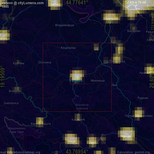
» NASA, Earths city lights 1995
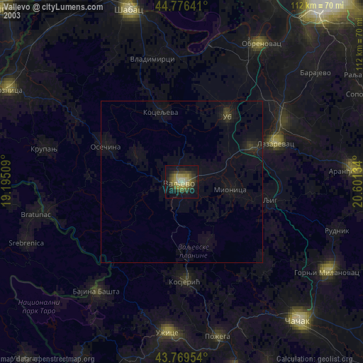
» NASA city lights 2003
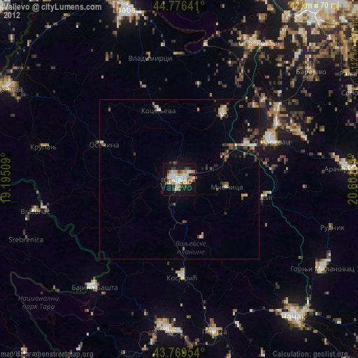
» Earth at Night: Flat Maps 2012, 2016