Zorleni night lights from space
Night Light of Zorleni (Vaslui) from space (Romania) Src. Average luminocity for 10x10km area is 8.4063% and for 50x50km: 0.5712%.
Analysis of Zorleni night lights 2016
Square area 10x10 km:
100  1.93%
1.93%
90-99 1.93%
80-89 1.49%
70-79 1.49%
60-69 0%
50-59 0%
40-49 0.6%
30-39 0.6%
20-29 0.6%
10-19 2.23%
0-9 89.14%
1.93%90-99
1.93%80-89
1.49%70-79
1.49%60-69
0%50-59
0%40-49
0.6%30-39
0.6%20-29
0.6%10-19
2.23%0-9
89.14%Square area 50x50 km:
100 0.13%
90-99 0.1%
80-89 0.06%
70-79 0.1%
60-69 0%
50-59 0.02%
40-49 0.05%
30-39 0.04%
20-29 0.02%
10-19 0.17%
0-9 99.3%
0.13%90-99
0.1%80-89
0.06%70-79
0.1%60-69
0%50-59
0.02%40-49
0.05%30-39
0.04%20-29
0.02%10-19
0.17%0-9
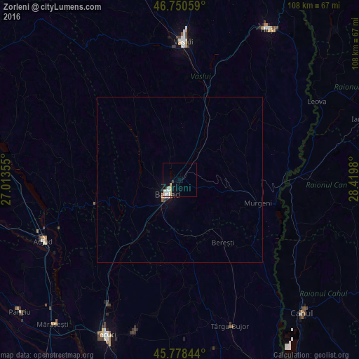
99.3%Clear (daylight) street map image can be seen on geolist.org.
Map coordinates:
46° 45' 2.1" North, 27° 0' 48.8" East
46° 16' 0" North, 27° 43' 0" East
45° 46' 42.4" North, 28° 25' 11.3" East
Some cities around Zorleni sort by population:
• Bârlad
5.3 km =3.3 mi,  223°
223°
• Murgeni
24.3 km =15.1 mi,  106°
106°
• Tutova
21 km =13 mi, 217°
• Banca
7.4 km =4.6 mi,  59°
59°
• Griviţa
14 km =8.7 mi,  201°
201°
• Perieni
8.5 km =5.3 mi,  295°
295°
• Podu Turcului
26.7 km =16.6 mi,  253°
253°
• Puieşti
23.6 km =14.7 mi,  315°
315°
662130 (p: 9,511)
Sources (retrieved 2019-11-25):
» Earth at Night: Flat Maps 2012, 2016