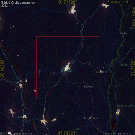
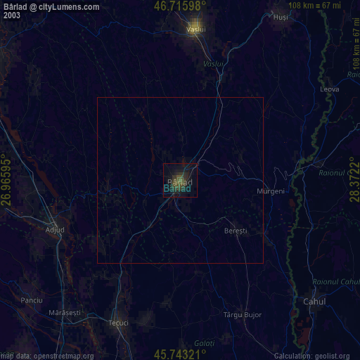
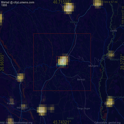
Bârlad night lights from space
Night Light of Bârlad (Vaslui) from space (Romania) Src. Average luminocity for 10x10km area is 13.6086% and for 50x50km: 0.585%.

Analysis of Bârlad night lights 2016
Square area 10x10 km:
 3.27%
3.27%90-99
2.38%80-89
1.49%70-79
2.38%60-69
0%50-59
0.6%40-49
1.34%30-39
1.04%20-29
0.6%10-19
4.32%0-9
82.59%Square area 50x50 km:
0.13%90-99
0.1%80-89
0.06%70-79
0.1%60-69
0%50-59
0.05%40-49
0.05%30-39
0.04%20-29
0.02%10-19
0.17%0-9
99.28%Clear (daylight) street map image can be seen on geolist.org.
Map coordinates:
46° 42' 57.5" North, 26° 57' 57.4" East
46° 13' 54.3" North, 27° 40' 8.7" East
45° 44' 35.6" North, 28° 22' 19.9" East
Some cities around Bârlad sort by population:
• Zorleni
5.3 km =3.3 mi,  43°
43°
• Ghidigeni
24 km =14.9 mi,  212°
212°
• Tutova
15.7 km =9.8 mi,  215°
215°
• Banca
12.6 km =7.8 mi,  52°
52°
• Griviţa
9.2 km =5.7 mi,  189°
189°
• Perieni
8.6 km =5.3 mi,  332°
332°
• Podu Turcului
22.3 km =13.9 mi,  260°
260°
• Puieşti
24.3 km =15.1 mi, 327°
684802 (p: 67,818)
Sources (retrieved 2019-11-25):
» NASA, Earths city lights 1995
» NASA city lights 2003
» Earth at Night: Flat Maps 2012, 2016