Murgeni night lights from space
Night Light of Murgeni (Vaslui) from space (Romania) Src. Average luminocity for 10x10km area is 0% and for 50x50km: 0.0376%.
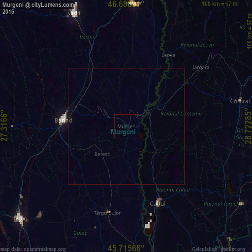
Analysis of Murgeni night lights 2016
Square area 10x10 km:
 0%
0%90-99
0%80-89
0%70-79
0%60-69
0%50-59
0%40-49
0%30-39
0%20-29
0%10-19
0%0-9
100%Square area 50x50 km:
0%90-99
0%80-89
0%70-79
0%60-69
0%50-59
0%40-49
0%30-39
0%20-29
0%10-19
0.01%0-9
99.99%Clear (daylight) street map image can be seen on geolist.org.
Map coordinates:
46° 41' 20.1" North, 27° 18' 59.8" East
46° 12' 16" North, 28° 1' 11" East
45° 42' 56.4" North, 28° 43' 22.3" East
Some cities around Murgeni sort by population:
• Bârlad
27.1 km =16.8 mi,  276°
276°
• Zorleni
24.3 km =15.1 mi,  286°
286°
• Fălciu
13.8 km =8.6 mi,  42°
42°
• Banca
20 km =12.4 mi,  302°
302°
• Berezeni
21.5 km =13.4 mi,  27°
27°
• Griviţa
29.1 km =18.1 mi,  257°
257°
• Perieni
32.8 km =20.4 mi, 288°
• Cantemir, MD
16.2 km =10.1 mi,  60°
60°
672615 (p: 7,665)
Sources (retrieved 2019-11-25):
» Earth at Night: Flat Maps 2012, 2016