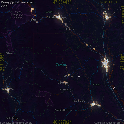
Zemeş night lights from space
Night Light of Zemeş (Bacău) from space (Romania) Src. Average luminocity for 10x10km area is 0.3835% and for 50x50km: 0.4264%.
Analysis of Zemeş night lights 2016
Square area 10x10 km:
100  0%
0%
90-99 0%
80-89 0%
70-79 0%
60-69 0%
50-59 0%
40-49 0.28%
30-39 0.57%
20-29 0%
10-19 0%
0-9 99.15%
0%90-99
0%80-89
0%70-79
0%60-69
0%50-59
0%40-49
0.28%30-39
0.57%20-29
0%10-19
0%0-9
99.15%Square area 50x50 km:
100 0%
90-99 0.05%
80-89 0.04%
70-79 0.05%
60-69 0.06%
50-59 0.13%
40-49 0.15%
30-39 0.13%
20-29 0.09%
10-19 0.05%
0-9 99.25%
0%90-99
0.05%80-89
0.04%70-79
0.05%60-69
0.06%50-59
0.13%40-49
0.15%30-39
0.13%20-29
0.09%10-19
0.05%0-9
99.25%Clear (daylight) street map image can be seen on geolist.org.
Map coordinates:
47° 3' 51.9" North, 25° 42' 48.8" East
46° 34' 60" North, 26° 25' 0" East
46° 5' 52.5" North, 27° 7' 11.3" East
Some cities around Zemeş sort by population:
• Moineşti
13.2 km =8.2 mi,  155°
155°
• Comăneşti
18.1 km =11.2 mi,  175°
175°
• Borleşti
21 km =13 mi,  14°
14°
• Balcani
11.6 km =7.2 mi,  61°
61°
• Poduri
15.7 km =9.8 mi,  145°
145°
• Asău
16.7 km =10.4 mi, 184°
• Pârjol
14 km =8.7 mi,  90°
90°
• Agăş
18.9 km =11.7 mi,  233°
233°
662225 (p: 5,171)
Sources (retrieved 2019-11-25):
» Earth at Night: Flat Maps 2012, 2016