Borleşti night lights from space
Night Light of Borleşti (Neamţ) from space (Romania) Src. Average luminocity for 10x10km area is 0.0089% and for 50x50km: 1.2472%.
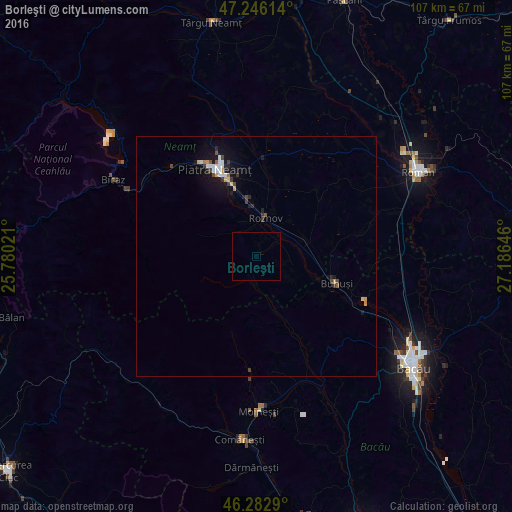
Analysis of Borleşti night lights 2016
Square area 10x10 km:
 0%
0%90-99
0%80-89
0%70-79
0%60-69
0%50-59
0%40-49
0%30-39
0%20-29
0%10-19
0%0-9
100%Square area 50x50 km:
0.16%90-99
0.22%80-89
0.12%70-79
0.16%60-69
0.05%50-59
0.11%40-49
0.2%30-39
0.24%20-29
0.2%10-19
1.08%0-9
97.47%Clear (daylight) street map image can be seen on geolist.org.
Map coordinates:
47° 14' 46.1" North, 25° 46' 48.8" East
46° 46' 0" North, 26° 28' 60" East
46° 16' 58.4" North, 27° 11' 11.3" East
Some cities around Borleşti sort by population:
• Roznov
7.8 km =4.8 mi,  18°
18°
• Piatra Şoimului
8.3 km =5.2 mi,  332°
332°
• Blăgeşti
15.7 km =9.8 mi,  126°
126°
• Dumbrava Roşie
13.5 km =8.4 mi,  343°
343°
• Zăneşti
7.5 km =4.7 mi,  42°
42°
• Săvineşti
9.4 km =5.8 mi,  352°
352°
• Podoleni
10.8 km =6.7 mi,  69°
69°
• Rediu
6.1 km =3.8 mi,  101°
101°
684190 (p: 8,965)
Sources (retrieved 2019-11-25):
» Earth at Night: Flat Maps 2012, 2016