Comăneşti night lights from space
Night Light of Comăneşti (Bacău) from space (Romania) Src. Average luminocity for 10x10km area is 3.7202% and for 50x50km: 0.6236%.
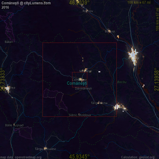
Analysis of Comăneşti night lights 2016
Square area 10x10 km:
100  0%
0%
90-99 0%
80-89 0.3%
70-79 0.6%
60-69 0.3%
50-59 1.19%
40-49 1.79%
30-39 1.79%
20-29 0.6%
10-19 0%
0-9 93.45%
0%90-99
0%80-89
0.3%70-79
0.6%60-69
0.3%50-59
1.19%40-49
1.79%30-39
1.79%20-29
0.6%10-19
0%0-9
93.45%Square area 50x50 km:
100 0.04%
90-99 0.09%
80-89 0.05%
70-79 0.05%
60-69 0.06%
50-59 0.15%
40-49 0.18%
30-39 0.18%
20-29 0.07%
10-19 0.14%
0-9 98.99%
0.04%90-99
0.09%80-89
0.05%70-79
0.05%60-69
0.06%50-59
0.15%40-49
0.18%30-39
0.18%20-29
0.07%10-19
0.14%0-9
98.99%Clear (daylight) street map image can be seen on geolist.org.
Map coordinates:
46° 54' 14" North, 25° 43' 60" East
46° 25' 16.9" North, 26° 26' 11.2" East
45° 56' 4.2" North, 27° 8' 22.5" East
Some cities around Comăneşti sort by population:
• Moineşti
7.2 km =4.5 mi,  33°
33°
• Dărmăneşti
7.1 km =4.4 mi,  149°
149°
• Dofteana
13.2 km =8.2 mi, 152°
• Poduri
9 km =5.6 mi,  55°
55°
• Asău
3.1 km =1.9 mi,  295°
295°
• Agăş
18.2 km =11.3 mi,  292°
292°
• Berzunţi
15.3 km =9.5 mi,  98°
98°
• Zemeş
18.1 km =11.2 mi,  355°
355°
681017 (p: 23,729)
Sources (retrieved 2019-11-25):
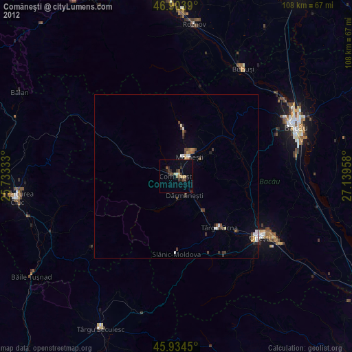
» Earth at Night: Flat Maps 2012, 2016