Poduri night lights from space
Night Light of Poduri (Bacău) from space (Romania) Src. Average luminocity for 10x10km area is 3.0895% and for 50x50km: 1.1299%.
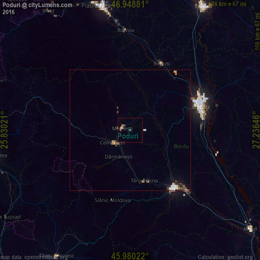
Analysis of Poduri night lights 2016
Square area 10x10 km:
 0%
0%90-99
0%80-89
0.57%70-79
0%60-69
1.28%50-59
1.28%40-49
0.43%30-39
0.14%20-29
1.14%10-19
0%0-9
95.17%Square area 50x50 km:
0.11%90-99
0.18%80-89
0.14%70-79
0.09%60-69
0.09%50-59
0.2%40-49
0.29%30-39
0.23%20-29
0.1%10-19
0.47%0-9
98.09%Clear (daylight) street map image can be seen on geolist.org.
Map coordinates:
46° 56' 55.7" North, 25° 49' 48.8" East
46° 28' 0" North, 26° 31' 60" East
45° 58' 48.8" North, 27° 14' 11.3" East
Some cities around Poduri sort by population:
• Moineşti
3.5 km =2.2 mi,  285°
285°
• Comăneşti
9 km =5.6 mi,  235°
235°
• Dărmăneşti
11.8 km =7.3 mi,  199°
199°
• Asău
10.9 km =6.8 mi,  250°
250°
• Pârjol
13.9 km =8.6 mi,  21°
21°
• Bereşti-Tazlău
10.2 km =6.3 mi,  90°
90°
• Berzunţi
10.7 km =6.6 mi,  134°
134°
• Zemeş
15.7 km =9.8 mi,  325°
325°
670274 (p: 7,937)
Sources (retrieved 2019-11-25):
» Earth at Night: Flat Maps 2012, 2016